51,99 €
inkl. MwSt.
Versandkostenfrei*
Versandfertig in 6-10 Tagen
payback
26 °P sammeln
  • Broschiertes Buch

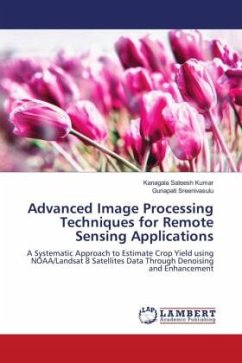
The main objective of this book is to propose a systematic approach to estimate crop yield (Paddy, Groundnut) for remote sensing applications using NOAA and Landsat 8 satellite images. In general the received imagery are noisy in nature. So, to tackle this issue spatial and frequency domain based denoising techniques were proposed and discussed in detail by implemented on both NOAA and Landsat 8 images. After this, In this book, empirical crop yield estimation models are proposed for both NOAA and Landsat 8 satellite data to estimate crop yields of both Paddy, groundnut with remote sensing…mehr

Produktbeschreibung
The main objective of this book is to propose a systematic approach to estimate crop yield (Paddy, Groundnut) for remote sensing applications using NOAA and Landsat 8 satellite images. In general the received imagery are noisy in nature. So, to tackle this issue spatial and frequency domain based denoising techniques were proposed and discussed in detail by implemented on both NOAA and Landsat 8 images. After this, In this book, empirical crop yield estimation models are proposed for both NOAA and Landsat 8 satellite data to estimate crop yields of both Paddy, groundnut with remote sensing images and meteorological parameters. By this, it can be said that this research work can be used as a secondary opinion in the estimation of crop yield over the study area.
Autorenporträt
K. Sateesh Kumar lavora come professore assistente presso lo SNIST di Hyderabad. Le sue aree di interesse sono l'elaborazione digitale delle immagini, il telerilevamento e l'apprendimento automatico, ecc. Prof. G. Sreenivasulu, professore di ECE, SVUCE, S V University. Ha diverse pubblicazioni internazionali in riviste e conferenze rinomate.