13,99 €
inkl. MwSt.

Versandfertig in über 4 Wochen
payback
7 °P sammeln
  • Landkarte

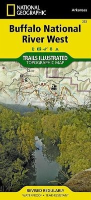
This Trails Illustrated topographic map for the western portion of the Buffalo National River and surrounding area in north-central Arkansas, one of the few remaining rivers in the lower 48 states without dams. The Buffalo National River, West, includes sections of the river from the Upper Buffalo Wilderness and the Ozark National Forest, through Boxley Valley to the Little Buffalo River, then through to Woolum. Along the way are many hiking trails, Lost Valley, Villines Farmstead, Steel Creek, Henderson House, Kyles Landing, Erbie, Cedar Grove, Ozark, Pruitt, and Carver. Includes UTM grids for use with your GPS unit.…mehr

Produktbeschreibung
This Trails Illustrated topographic map for the western portion of the Buffalo National River and surrounding area in north-central Arkansas, one of the few remaining rivers in the lower 48 states without dams. The Buffalo National River, West, includes sections of the river from the Upper Buffalo Wilderness and the Ozark National Forest, through Boxley Valley to the Little Buffalo River, then through to Woolum. Along the way are many hiking trails, Lost Valley, Villines Farmstead, Steel Creek, Henderson House, Kyles Landing, Erbie, Cedar Grove, Ozark, Pruitt, and Carver. Includes UTM grids for use with your GPS unit.
Autorenporträt
Founded in 1915 as the Cartographic Group, the first division of National Geographic, National Geographic Maps has been responsible for illustrating the world around us through the art and science of mapmaking.Today, National Geographic Maps continues this mission by creating the world's best wall maps, recreation maps, atlases, and globes which inspire people to care about and explore their world.