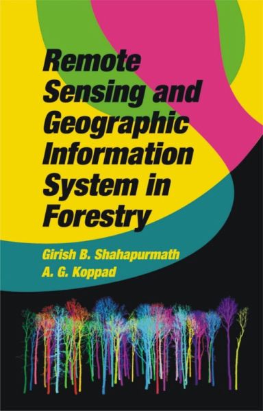
Remote Sensing And Geographic Information System In Forestry (eBook, ePUB)

PAYBACK Punkte
115 °P sammeln!
Romote sensing and GIS are complementary technologies that, when combined, enable improved monitoring, mapping, and management of forest resources. The information that supports forest management is stored primarily in the form of forest inventory databases within a GIS environment. A key development in remote sensing has been the increased availability of high-spatial and high-spectral-resolution remotely sensed data from a wide range of sensors and platforms including photographic and digital cameras, video capture, and airborne and space borne multispectral sensors. Hyper spectral imagery p...
Romote sensing and GIS are complementary technologies that, when combined, enable improved monitoring, mapping, and management of forest resources. The information that supports forest management is stored primarily in the form of forest inventory databases within a GIS environment. A key development in remote sensing has been the increased availability of high-spatial and high-spectral-resolution remotely sensed data from a wide range of sensors and platforms including photographic and digital cameras, video capture, and airborne and space borne multispectral sensors. Hyper spectral imagery promises to provide improved discrimination of forest cover and physiological attributes. Radar application are being developed that penetrate the forest canopy to reveal characteristics of the forest floor. New technologies, such as LIDAR can provide estimates of forest biomass, height, and the vertical distribution of forest structure with unprecedented accuracy. This book deals with into some of the basic aspects, principles, and practices of Remote Sensing and Geographical Information System in Forestry. The book has been written with a view to cover the broad syllabus prescribed on the subject in various forestry colleges' forestry training institutes and Agricultural Universities in India. This will serve as a valuable source of information for the academicians in forestry colleges and institutes and also for the undergraduate and post graduate for the preparation of competitive examination in forestry discipline.
Dieser Download kann aus rechtlichen Gründen nur mit Rechnungsadresse in A, B, BG, CY, CZ, D, DK, EW, E, FIN, F, GR, HR, H, IRL, I, LT, L, LR, M, NL, PL, P, R, S, SLO, SK ausgeliefert werden.


