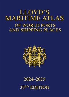
Welcome to the 33rd edition of Lloyd's Maritime Atlas.
Published since 1951, Lloyd's Maritime Atlas is the oldest and most respected atlas in the shipping industry. A comprehensive reference for locating the world's busiest ports and shipping places, this new edition has been fully updated and enhanced with revised maps and new features to alleviate the demands on today's busy shipping professional.
In the 2024-2025 edition you will find:
In addition, Lloyd's Maritime Atlas continues to provide:
This book continues to be the premier reference guide for shipping professionals worldwide.
We are always looking for ways in which to improve our products and services and we welcome any comments and suggestions that you may have concerning this Atlas or any of our other publications using the contact details on our website www.routledge.com.
Published since 1951, Lloyd's Maritime Atlas is the oldest and most respected atlas in the shipping industry. A comprehensive reference for locating the world's busiest ports and shipping places, this new edition has been fully updated and enhanced with revised maps and new features to alleviate the demands on today's busy shipping professional.
In the 2024-2025 edition you will find:
- The maps and indexes have been updated with the latest port names and locations, and expanded with almost 200 new ports integrated
- The addition of more than 400 new anchorages, 45 marine terminals, 22 offshore facilities, and 85 oil and gas fields
- The latest data on piracy incidents applied to a global overview with summaries by region, vessel type and dwt, plus every map featuring three grades of incident symbols to highlight the severity of different hotspots
- The MARPOL map has been separated from PSSA and SECA for increased clarity, with new Mediterranean Sea areas for SECA and PSSA integrated
- An updated world map of vaccinations required to protect against major global diseases
- The very latest Marine Distance Tables and fleet statistics
In addition, Lloyd's Maritime Atlas continues to provide:
- Precise latitude and longitude co-ordination of more than 9,000 ports and shipping places around the world
- More than 70 full-colour world, ocean, and regional maps
- A global overview of international load line zones
- An expansive double-page world distance table plus 33 detailed regional tables to help you plan your route
- A unique and extensive geographical and alphabetical indexing system to help readers quickly and easily find a location
- All major canal and river systems, plus main road, rail, and airport connections to cater for multi-modal journeys
This book continues to be the premier reference guide for shipping professionals worldwide.
We are always looking for ways in which to improve our products and services and we welcome any comments and suggestions that you may have concerning this Atlas or any of our other publications using the contact details on our website www.routledge.com.
Dieser Download kann aus rechtlichen Gründen nur mit Rechnungsadresse in A, B, BG, CY, CZ, D, DK, EW, E, FIN, F, GR, HR, H, IRL, I, LT, L, LR, M, NL, PL, P, R, S, SLO, SK ausgeliefert werden.


