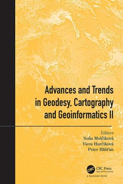
This volume contains a selection of peer-reviewed papers presented at the International Scientific and Professional Conference Geodesy, Cartography and Geoinformatics 2019 (GCG 2019). The conference provided a forum for prominent scientists, researchers and professionals from Slovakia, Poland and the Czech Republic to present novel and fundamental advances in the fields of geodesy, cartography and geoinformatics. Conference participants had the opportunity to exchange and share their experiences, research and results solved within scientific research projects with other colleagues. The conference was focused on a wide spectrum of actual topics and subjects areas in Surveying and mine surveying, Geodetic control and geodynamics and Cartography and Geoinformatics collected in this proceedings volume.
The Book Series "Advances and Trends in Geodesy, Cartography and Geoinformatics" is, in line with its long tradition, devoted to the publication of proceedings of peer-reviewed international conferences focusing on presenting technological and scientific advances in modern geodesy, geoinformatics, cartography, photogrammetry, remote sensing, geography, and related sciences. It plays an extremely important role in accelerating the development of all these disciplines, stimulating advanced education and training through the wide dissemination of new scientific knowledge and trends in Geodesy, Cartography and Geoinformatics to a broad group of scientists and specialists.
The Book Series "Advances and Trends in Geodesy, Cartography and Geoinformatics" is, in line with its long tradition, devoted to the publication of proceedings of peer-reviewed international conferences focusing on presenting technological and scientific advances in modern geodesy, geoinformatics, cartography, photogrammetry, remote sensing, geography, and related sciences. It plays an extremely important role in accelerating the development of all these disciplines, stimulating advanced education and training through the wide dissemination of new scientific knowledge and trends in Geodesy, Cartography and Geoinformatics to a broad group of scientists and specialists.
Dieser Download kann aus rechtlichen Gründen nur mit Rechnungsadresse in A, B, BG, CY, CZ, D, DK, EW, E, FIN, F, GR, HR, H, IRL, I, LT, L, LR, M, NL, PL, P, R, S, SLO, SK ausgeliefert werden.

