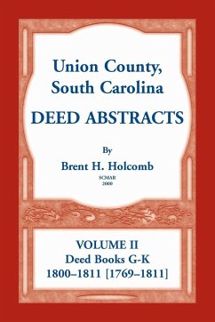
Union County was formed in 1785; in 1800 it became Union District. In the colonial period, the area of Union County was considered part of Craven County or Berkeley County, South Carolina. Prior to the border surveys of 1764 and 1772, the area was included in the North Carolina counties of Anson, Mecklenburg, and Tryon. For this reason, many grants and deeds from North Carolina are referenced in the Union County deeds. Union County bordered on the counties of Spartanburg, Laurens, Newberry, Fairfield, York, and Chester. Little changes in its boundaries occurred until 1897 when a portion of Union County was taken, with portions of Spartanburg and York Counties, to form Cherokee County. The deeds in this volume were recorded between 1800 and 1811. As is common, there are deeds recorded from a much earlier time period. The earliest deed included in this work dates from 4 July 1769. The deeds in this volume have been abstracted from South Carolina Archives microfilm, Rolls C2206 and C2207. Abstracts typically include: deed book and page number(s), date of sale/lease, name of grantor/lessor, name of grantee/lessee, the grantee/lessee's county and/or district of residence, amount charged and/or paid, number of acres and location of property (in a few cases the property is a slave rather than land), names of witnesses, name of justice of the peace and/or other official approving deed, date approved, and date recorded. A map of Union District (1822), a full-name index, and a place index add to the value of this work.

