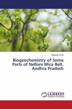
Gudur area is famous for mica and is located in the world famous Nellore mica belt in Andhra Pradesh. This book comprises mainly in two parts. The first part deals with the remote sensing studies and the second part deals with hydro geochemical studies of water quality. The remote sensing studies include the advanced applications of remote sensing and geographical information systems (GIS). This comprises of various thematic maps such as drainage, soil, geology, geomorphology, structures/lineaments and slope maps for understanding the processes controlling the occurrence of groundwater. It also covers the land use/land cover maps for their optimal use for the selection, planning, and implementation of various land use schemes to meet the increasing demands for basic human needs and welfare of the ever-growing population. The second part covers an assessment of water quality in groundwater potential zones to assess the variability of groundwater parameters and its suitability for domestic and irrigation purposes and to understand the processes controlling the chemistry of groundwater including groundwater modeling and statistical techniques.

