25,99 €
inkl. MwSt.
Versandkostenfrei*
Versandfertig in über 4 Wochen
payback
13 °P sammeln
  • Broschiertes Buch

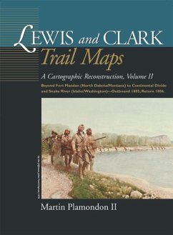
Beginning a short distance above Fort Mandan, 180 maps depict the explorers' route in 1805-06 on the Missouri River in North Dakota and Montana, over the continental divide to Idaho, and on westward-flowing waters to the Snake-Columbia confluence in central Washington. As in Volume I, the maps contrast modern riverbeds to their courses at the time of exploration.

Produktbeschreibung
Beginning a short distance above Fort Mandan, 180 maps depict the explorers' route in 1805-06 on the Missouri River in North Dakota and Montana, over the continental divide to Idaho, and on westward-flowing waters to the Snake-Columbia confluence in central Washington. As in Volume I, the maps contrast modern riverbeds to their courses at the time of exploration.

Autorenporträt
Martin Plamondon II of Vancouver, Washington, was a chairman of the Governor's Washington Lewis and Clark Trail Committee. His long-term research in exploration history and 28 years of experience as a professional cartographer provided the unique set of skills required to complete the trail maps.