25,99 €
inkl. MwSt.
Versandkostenfrei*
Versandfertig in 1-2 Wochen
payback
13 °P sammeln
  • Broschiertes Buch

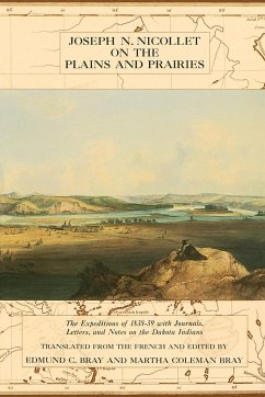
In 1838 and 1839 French scientist Joseph N. Nicollet led two expeditions into the land between the Missouri and Mississippi rivers. His findings were published in the first authentic map of the region, a document that influenced mapmakers in the United States for generations. This book contains translations of journals, letters, and notes produced during those expeditions, which visited landmarks like the Pipestone Quarry in Minnesota and Fort Pierre, the Coteau des Prairies, and Devil's Lake in the Dakotas. Nicollet met often with Dakota people in the region, and his observations are a valuable record of their way of life.…mehr

Produktbeschreibung
In 1838 and 1839 French scientist Joseph N. Nicollet led two expeditions into the land between the Missouri and Mississippi rivers. His findings were published in the first authentic map of the region, a document that influenced mapmakers in the United States for generations. This book contains translations of journals, letters, and notes produced during those expeditions, which visited landmarks like the Pipestone Quarry in Minnesota and Fort Pierre, the Coteau des Prairies, and Devil's Lake in the Dakotas. Nicollet met often with Dakota people in the region, and his observations are a valuable record of their way of life.