30,99 €
inkl. MwSt.
Versandkostenfrei*
Versandfertig in 6-10 Tagen
payback
15 °P sammeln
  • Broschiertes Buch

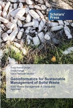
Waste management is turning into a serious health and environmental concern in urban, semi urban and even rural areas of the many developing countries. Waste is associate ineluctable by product of human activities, economic development, urbanization and rising living standards in cities, have junction rectifier to a rise within the amount and quality of generated waste. Solid waste generation is increasing space in urban areas of Asian country further as globally. Waste disposing is another vital part of waste management system, which needs a lot of attention to avoid environmental pollution.…mehr

Produktbeschreibung
Waste management is turning into a serious health and environmental concern in urban, semi urban and even rural areas of the many developing countries. Waste is associate ineluctable by product of human activities, economic development, urbanization and rising living standards in cities, have junction rectifier to a rise within the amount and quality of generated waste. Solid waste generation is increasing space in urban areas of Asian country further as globally. Waste disposing is another vital part of waste management system, which needs a lot of attention to avoid environmental pollution. Urban waste management has been a serious drawback in most Indian cities thus a requirement for a comprehensive study utilizing remote sensing and GIS technology that can make cities more sustainable. A geospatial multicriteria analysis was performed with weighted overlay technique by considering varied criteria like physical, social and demographic aspects of town for locating the solid waste disposal site aspects of the city.
Autorenporträt
Il dottor Suraj Kumar Singh lavora come professore associato e coordinatore presso il Centro per lo sviluppo sostenibile di Jaipur. La dott.ssa Shruti Kanga lavora come professore associato e coordinatore del Centre for Climate Change & Water Research. Hanno lavorato nei settori del GIS, del telerilevamento e delle sue applicazioni.