32,99 €
inkl. MwSt.
Versandkostenfrei*
Versandfertig in 6-10 Tagen
payback
16 °P sammeln
  • Broschiertes Buch

This work adopted the emerging technology of GeoICT with emphasis on GIS, GPS and Web Technologies to study, design and implement a geodatabase system using ARCGIS 9.3 that would show an interactive clickable location-based map of all Federal Universities in Nigeria. Users can analyze the spatial distribution of Nigerian Federal Universities in relation to developed and less developed educational states. The advantages of this system shall enable candidates to compare, access a graphical map view, and search for or select an institution of choice with ease. The associated agencies in education…mehr

Produktbeschreibung
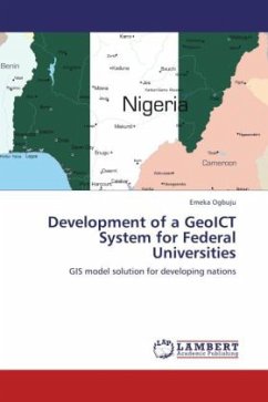
This work adopted the emerging technology of GeoICT with emphasis on GIS, GPS and Web Technologies to study, design and implement a geodatabase system using ARCGIS 9.3 that would show an interactive clickable location-based map of all Federal Universities in Nigeria. Users can analyze the spatial distribution of Nigerian Federal Universities in relation to developed and less developed educational states. The advantages of this system shall enable candidates to compare, access a graphical map view, and search for or select an institution of choice with ease. The associated agencies in education management shall be able to make decision making clearer. The capabilities of this system can be extended or applied in other nations of the world for location-based studies using the same methodologies, tools and techniques well-designed in this research.
Autorenporträt
Emeka Ogbuju is a Chartered Information Technology Practitioner. He holds Bachelors and Masters Degrees, both in Computer Science from Nnamdi Azikiwe University Awka, Nigeria. He lectures at Salem University Lokoja and pioneers the Internet Missions Conference in Africa.