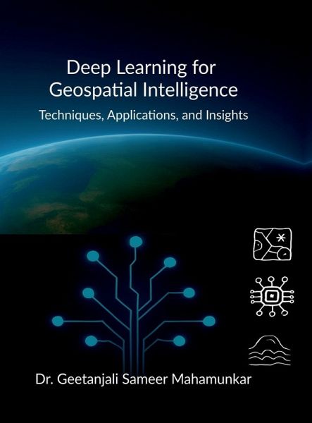
Deep Learning for Geospatial Intelligence
Techniques, Applications, and Insights
Versandkostenfrei!
Versandfertig in über 4 Wochen
25,99 €
inkl. MwSt.

PAYBACK Punkte
13 °P sammeln!
Unlock the Power of Earth Data with Deep Learning From satellite imagery to drone data, Deep Learning for Geospatial Intelligence reveals how AI transforms raw spatial data into actionable insights. Covering real-world applications like mangrove mapping, landslide prediction, etc., this practical guide is designed for students, researchers, and professionals alike. With clear foundations, open-source tools, and case studies, it empowers readers to decode the Earth's complex patterns-intelligently. The Earth is speaking in data. Learn to listen-intelligently.


