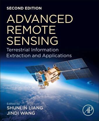
Advanced Remote Sensing
Terrestrial Information Extraction and Applications
Herausgegeben: Liang, Shunlin; Wang, Jindi

PAYBACK Punkte
61 °P sammeln!
Advanced Remote Sensing: Terrestrial Information Extraction and Applications, Second Edition, is a thoroughly updated application-based reference that provides a single source on the mathematical concepts necessary for remote sensing data gathering and assimilation. It presents state-of-the-art techniques for estimating land surface variables from a variety of data types, including optical sensors like RADAR and LIDAR. The book provides scientists in a number of different fields, including geography, geophysics, geology, atmospheric science, environmental science, planetary science and ecology...
Advanced Remote Sensing: Terrestrial Information Extraction and Applications, Second Edition, is a thoroughly updated application-based reference that provides a single source on the mathematical concepts necessary for remote sensing data gathering and assimilation. It presents state-of-the-art techniques for estimating land surface variables from a variety of data types, including optical sensors like RADAR and LIDAR. The book provides scientists in a number of different fields, including geography, geophysics, geology, atmospheric science, environmental science, planetary science and ecology with access to critically-important data extraction techniques and their virtually unlimited applications.
While rigorous enough for the most experienced of scientists, the techniques presented are well designed and integrated, making the book's content intuitive and practical in its implementation.
While rigorous enough for the most experienced of scientists, the techniques presented are well designed and integrated, making the book's content intuitive and practical in its implementation.


