13,99 €
inkl. MwSt.

Versandfertig in über 4 Wochen
payback
7 °P sammeln
  • Landkarte

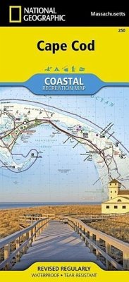
Surrounded by the Atlantic Ocean to the east, north, and south, Nantucket Sound to the southwest, and Cape Cod Bay to the west, Cape Cod is lined with beaches, and interlaced with paths and roads. This map includes the towns of Provincetown, Newcomb Hollow, South Truro, Cahoon Hollow, South Wellfleet, Eastham, Orleans, Dennis, East Dennis, Yarmouth, South Yarmouth, Harwich, North Harwich, East Harwich, and West Chatham. The map shows lighthouses, picnic areas, points of interest, museums and much more, as well as Nickerson State Park, Wellfleet Harbor, Provincetown Harbor, Massachusetts…mehr

Andere Kunden interessierten sich auch für
Produktbeschreibung
Surrounded by the Atlantic Ocean to the east, north, and south, Nantucket Sound to the southwest, and Cape Cod Bay to the west, Cape Cod is lined with beaches, and interlaced with paths and roads. This map includes the towns of Provincetown, Newcomb Hollow, South Truro, Cahoon Hollow, South Wellfleet, Eastham, Orleans, Dennis, East Dennis, Yarmouth, South Yarmouth, Harwich, North Harwich, East Harwich, and West Chatham. The map shows lighthouses, picnic areas, points of interest, museums and much more, as well as Nickerson State Park, Wellfleet Harbor, Provincetown Harbor, Massachusetts Audobon Societyh Sanctuary, and Monomoy National Wildlife Refuge. Includes UTM grids for use with your GPS unit.
Autorenporträt
Founded in 1915 as the Cartographic Group, the first division of National Geographic, National Geographic Maps has been responsible for illustrating the world around us through the art and science of mapmaking.Today, National Geographic Maps continues this mission by creating the world's best wall maps, recreation maps, atlases, and globes which inspire people to care about and explore their world.