Beschreibung
Produktdetails
Verkaufsrang
21017
Einband
Taschenbuch
Erscheinungsdatum
04.04.2025
Verlag
Mussio Ventures LtdSeitenzahl
320
Maße (L/B/H)
22,7/28,6/2,3 cm
Gewicht
772 g
Auflage
7 ed
Sprache
Englisch
ISBN
978-1-989175-39-2
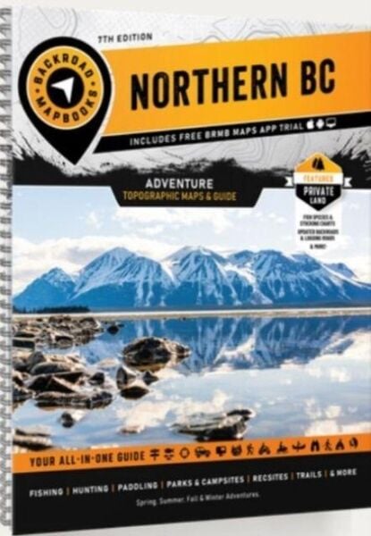
116 maps: 61 @ 1:250,000, 27 @ 1:275,000, 28 @ 1:550,000 Northern BC is a vast area, covering more land than the entire country of Sweden. In the west, the port city of Prince Rupert sits nestled among the majestic coast mountains, acting as a gateway to the Pacific Ocean and the incredible islands of Haida Gwaii. To the east, the Rocky Mountains cast their imposing shadow over the land, attracting hikers, mountaineers and ski tourers from far and wide. As you move north towards the Yukon border, the human population becomes sparser and nature rules the land. In between, places like Spatsizi Wilderness Provincial Park contain some of the most breathtaking landscapes in the country. Whether you are looking to fish, camp, ATV, snowmobile, view wildlife or just take in the sights along the region's many roads, Northern BC offers an abundance of adventure. This mapbook includes Atlin, Chetwynd, Dawson Creek, Fort Nelson, Fort St. John, Haida Gwaii, Mackenzie, Prince George, Prince Rupert, Smithers, Stewart, Terrace, Tumbler Ridge, Vanderhoof Highways, Logging Roads, Land & Water Features, Parks, Adventure Points of Interest, Campgrounds, Hiking Trails, Motorized Trails, Paddling Routes, Hunting & Fishing Areas, Winter Recreation and more
Noch keine Bewertungen vorhanden
Verfassen Sie die erste Bewertung zu diesem Artikel
Helfen Sie anderen Kundinnen und Kunden durch Ihre Meinung.
Kurze Frage zu unserer Seite
Vielen Dank für dein Feedback
Wir nutzen dein Feedback, um unsere Produktseiten zu verbessern. Bitte habe Verständnis, dass wir dir keine Rückmeldung geben können. Falls du Kontakt mit uns aufnehmen möchtest, kannst du dich aber gerne an unseren Kund*innenservice wenden.
zum Kundenservice