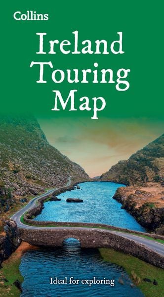
Collins Ireland Touring Map Ideal for Exploring Ireland
-
- Englisch ausgewählt
7,99 €
inkl. gesetzl. MwSt.,
Beschreibung
Produktdetails
Einband
Karte
Erscheinungsdatum
11.02.2027
Verlag
Collins ReferenceSeitenzahl
1
Maße (L/B/H)
23,7/13,9/2,1 cm
Gewicht
270 g
Sprache
Englisch
ISBN
978-0-00-885109-5
Explore new places with handy pocket maps from Collins.
Large full colour map of the whole of Ireland showing the road network in detail, and with a special emphasis on places of tourist interest.
This map has a handy touring scale of 7.5 miles to 1 inch (1:475,200). It has more than 20 categories of tourist information depicted clearly on the map. There is a full index to place names and places of interest.
This map includes:
- All classified and most minor roads
- Railway network and ferry routes
- Viewpoints and sandy beaches
- Speed enforcement zones and safety camera locations
- Index to 20 categories of tourist information
- Includes castles, historic houses, gardens, beaches and golf courses
Noch keine Bewertungen vorhanden
Verfassen Sie die erste Bewertung zu diesem Artikel
Helfen Sie anderen Kundinnen und Kunden durch Ihre Meinung.
Kurze Frage zu unserer Seite
Vielen Dank für dein Feedback
Wir nutzen dein Feedback, um unsere Produktseiten zu verbessern. Bitte habe Verständnis, dass wir dir keine Rückmeldung geben können. Falls du Kontakt mit uns aufnehmen möchtest, kannst du dich aber gerne an unseren Kund*innenservice wenden.
zum Kundenservice