Beschreibung
Produktdetails
Verkaufsrang
11107
Einband
Taschenbuch
Erscheinungsdatum
03.11.2026
Abbildungen
Full colour harbour charts and diagrams throughout
Verlag
Bloomsbury AcademicSeitenzahl
1104
Maße (L/B/H)
26,3/19,2/4,4 cm
Gewicht
2330 g
Sprache
Englisch
ISBN
978-1-399-43097-5
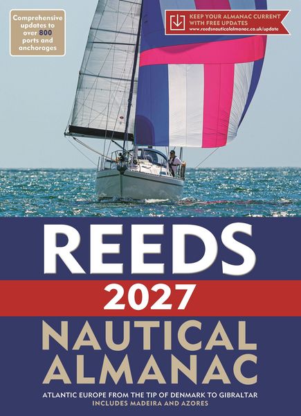
The indispensable trusted annual compendium of navigational data for yachtsmen and motorboaters.
Known as the Yachtsman's Bible, Reeds provides all the information required to navigate Atlantic coastal waters around the whole of the UK, Ireland, Channel Islands and the entire European coastline from the tip of Denmark right down to Gibraltar, Northern Morocco, the Azores and Madeira.
The 2027 Almanac continues the tradition of year-on-year improvement and meticulous presentation of all the data required for safe navigation. Now with an improved layout for easier reference and with over 45,000 annual changes, it is regarded as the essential almanac for anyone going to sea, and is recommended by the RYA, RNLI and Coastguard, and used in training courses all around the UK and Europe.
The 2027 edition is updated throughout and includes: 700 harbour chartlets; tide tables and tidal streams; buoyage and lights; 7,500 waypoints; invaluable passage notes; distance tables; radio, weather and safety information; and a first aid section. Also includes a free Reeds Marina Guide.
Noch keine Bewertungen vorhanden
Verfassen Sie die erste Bewertung zu diesem Artikel
Helfen Sie anderen Kundinnen und Kunden durch Ihre Meinung.
Kurze Frage zu unserer Seite
Vielen Dank für dein Feedback
Wir nutzen dein Feedback, um unsere Produktseiten zu verbessern. Bitte habe Verständnis, dass wir dir keine Rückmeldung geben können. Falls du Kontakt mit uns aufnehmen möchtest, kannst du dich aber gerne an unseren Kund*innenservice wenden.
zum Kundenservice