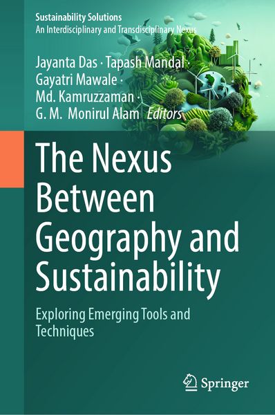
The Nexus Between Geography and Sustainability Exploring Emerging Tools and Techniques
156,99 €
inkl. gesetzl. MwSt.,
Beschreibung
Produktdetails
Einband
Gebundene Ausgabe
Erscheinungsdatum
10.04.2026
Abbildungen
XXXIV, 739 p. 308 illus., 300 illus. in color.
Herausgeber
Jayanta Das + weitereVerlag
SpringerSeitenzahl
739
Maße (L/B/H)
24,1/16/4,5 cm
Gewicht
1453 g
Sprache
Englisch
ISBN
978-3-032-11299-6
This book argues that addressing sustainability challenges requires insights from multiple disciplines, diverse perspectives, and collaboration across sectors. It explores the dynamic physical and cultural aspects of geography in the context of sustainable development, using modern tools and techniques. Geography is principally concerned with the growing relationship between human society and the physical environment, while sustainability offers solutions to meet present needs without compromising the demand of future generations. The connection between geography and sustainability becomes more significant when considering the advanced tools and techniques for analyzing complex environmental aspects as well as challenges, especially after the introduction of Artificial Intelligence (AI). Consequently, tools and techniques are integral parts of geographical studies and play a crucial role in promoting sustainable development. From precise data collection to spatial modelling, modern geographical research depends on these tools and techniques. This book explores the applications of tools and techniques such as Remote Sensing (RS), Geographical Information System (GIS), Global Positioning System (GPS), Machine Learning (ML) and some data visualization methods. These tools and techniques provide valuable insights into environmental changes, emphasising sustainable development. The fundamental areas of application include monitoring climate change, analyzing land use land cover change, assessing surface and ground water level, managing landslides risk and optimizing resource management. These tools and techniques also help to track environmental degradation by integrating different datasets and prepare spatial models and predictions. This will ultimately give an idea about urban planning, disaster management and environmental sustainability for the policy makers.
Noch keine Bewertungen vorhanden
Verfassen Sie die erste Bewertung zu diesem Artikel
Helfen Sie anderen Kundinnen und Kunden durch Ihre Meinung.
Kurze Frage zu unserer Seite
Vielen Dank für dein Feedback
Wir nutzen dein Feedback, um unsere Produktseiten zu verbessern. Bitte habe Verständnis, dass wir dir keine Rückmeldung geben können. Falls du Kontakt mit uns aufnehmen möchtest, kannst du dich aber gerne an unseren Kund*innenservice wenden.
zum Kundenservice