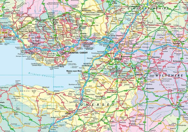
Collins Road Map of Britain 2027 (Folded Map) Clear, Easy-to-Read Mapping
-
- Englisch ausgewählt
9,99 €
inkl. gesetzl. MwSt.,
Beschreibung
Produktdetails
Einband
Karte
Erscheinungsdatum
12.03.2026
Verlag
Collins ReferenceSeitenzahl
2
Maße (L/B/H)
13,2/24/3,7 cm
Gewicht
142 g
Sprache
Englisch
ISBN
978-0-00-877905-4
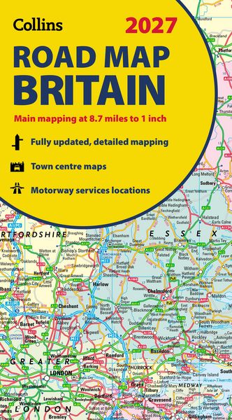
Explore Britain with easy-to-read mapping from Collins.
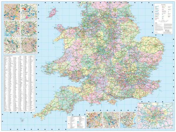
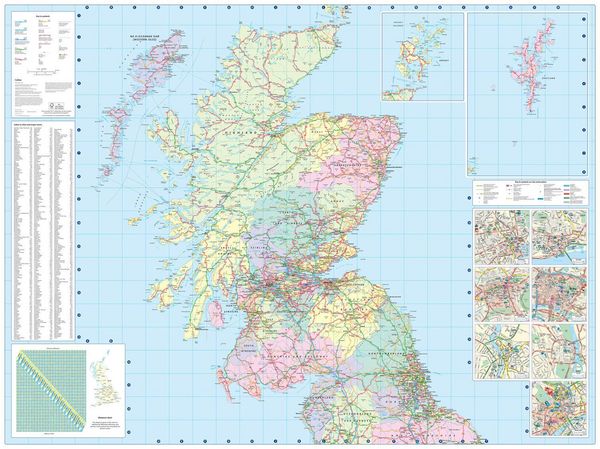
Full-colour, double-sided road map of Great Britain at a scale of 8.7 miles to 1 inch. Northern England, Scotland and the Isle of Man are on one side with Southern England and Wales on the other.
With its easily identifiable counties and unitary authorities, this map is ideal for business users but it is also perfect for tourists for route planning.
Main features:
- Fully updated
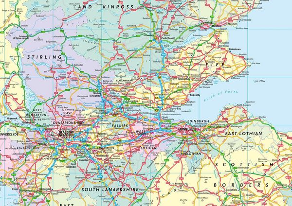
- Counties and local council areas shown in colour
- Clear, detailed road network
- Town and city names, rivers and canals are clearly shown
- 16 city/town centre street plans
- Index to place names
- Mileage chart
- Car ferry routes
- Key in English, French and German
- Now includes dual Welsh / English names for Welsh locations, for example, Caerdydd / Cardiff
Noch keine Bewertungen vorhanden
Verfassen Sie die erste Bewertung zu diesem Artikel
Helfen Sie anderen Kundinnen und Kunden durch Ihre Meinung.
Kurze Frage zu unserer Seite
Vielen Dank für dein Feedback
Wir nutzen dein Feedback, um unsere Produktseiten zu verbessern. Bitte habe Verständnis, dass wir dir keine Rückmeldung geben können. Falls du Kontakt mit uns aufnehmen möchtest, kannst du dich aber gerne an unseren Kund*innenservice wenden.
zum Kundenservice