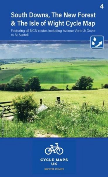
South Downs and The New Forest Including Avenue Verte and Dover to St Austell
-
- Englisch ausgewählt
8,99 €
inkl. gesetzl. MwSt.,
Beschreibung
Produktdetails
Einband
Karte
Erscheinungsdatum
20.08.2023
Verlag
CordeeSeitenzahl
2
Maße (L/B/H)
15,5/9,7/2 cm
Gewicht
46 g
Sprache
Englisch
ISBN
978-1-904207-79-5
Map 4 covers the South Downs, The New Forest and the Isle of Wight. The coverage stretches as far north as Reigate Aldershot and Andover. The maps are all produced at a scale of 1:100 000 showing important features including the National cycle Network. Sections on road, off road and traffic free are all shown in differing colours along with their route number. Other roads and their classification are shown enabling you to link rides or explore sections and discover new routes at home or further afield. Facilities such as toilets, pubs, accommodation, bike shops, repair stations and railway stations are all shown. The mapping also has relief shading giving you a clear picture of the terrain (and steepness of any hills) you will encounter. Scale: 1:100 000 (10mm = 1 Km, 16mm = 1 Mile) Folded size: 163mm x 105mm Unfolded: 650mm x 800mm Tear and water-resistant paper Double sided
Noch keine Bewertungen vorhanden
Verfassen Sie die erste Bewertung zu diesem Artikel
Helfen Sie anderen Kundinnen und Kunden durch Ihre Meinung.
Kurze Frage zu unserer Seite
Vielen Dank für dein Feedback
Wir nutzen dein Feedback, um unsere Produktseiten zu verbessern. Bitte habe Verständnis, dass wir dir keine Rückmeldung geben können. Falls du Kontakt mit uns aufnehmen möchtest, kannst du dich aber gerne an unseren Kund*innenservice wenden.
zum Kundenservice