KI-Beratung Beta

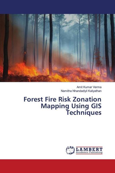
Produktbild: Forest Fire Risk Zonation Mapping Using GIS Techniques
- 13%

Forest Fire Risk Zonation Mapping Using GIS Techniques

13% sparen

37,99 € UVP 43,90 €

inkl. gesetzl. MwSt., Versandkostenfrei


Beschreibung

In this book we have provided information on how to identify forest fire risk zones by analyzing historical fire incidences along with influencive biophysical parameters responsible for forest fire for a particular landscape using GIS techniques. Forest fire risk zones were delineated by assigning subjective...

Beschreibung

In this book we have provided information on how to identify forest fire risk zones by analyzing historical fire incidences along with influencive biophysical parameters responsible for forest fire for a particular landscape using GIS techniques. Forest fire risk zones were delineated by assigning subjective weights to the classes of all the parameters according to their sensitivity to fire or their fire-inducing capability. Two categories of fire sensitive regions such as most sensitive and sensitive fire intensity zones were identified. The result shows that almost 20% of the study area was predicted to be under most sensitive. The evolved GIS-based forest fire risk model of the study area was found to be in strong agreement with actual fire-affected sites. Such study can help in preparing base map for preparatory planning for forest fire management for a particular area.

Produktdetails

Einband

Taschenbuch

Erscheinungsdatum

13.06.2023

Verlag LAP LAMBERT Academic Publishing
Seitenzahl

88

Produktdetails

Einband

Taschenbuch

Erscheinungsdatum

13.06.2023

Verlag LAP LAMBERT Academic Publishing
Seitenzahl

88

Maße (L/B/H)

22/15/0,6 cm

Gewicht

149 g

Sprache

Englisch

ISBN

978-620-6-15050-3

Herstelleradresse


Email: info@bod.de

Noch keine Bewertungen vorhanden

Verfassen Sie die erste Bewertung zu diesem Artikel

Helfen Sie anderen Kundinnen und Kunden durch Ihre Meinung.

Kundinnen und Kunden meinen

Bewertungen (0)

  • Produktbild: Forest Fire Risk Zonation Mapping Using GIS Techniques