Advances in Geospatial Data Science Selected Papers from the International Conference on Geospatial Information Sciences 2021
-
- Hardcover
- Taschenbuch ausgewählt
- eBook
-
Sprache:Englisch
121,99 €
UVP
139,09 €
inkl. gesetzl. MwSt.,
Lieferung nach Hause
Beschreibung
Produktdetails
Einband
Taschenbuch
Erscheinungsdatum
19.05.2023
Herausgeber
Rodrigo Tapia-McClung + weitereVerlag
SpringerSeitenzahl
205
Maße (L/B/H)
23,5/15,5/1,3 cm
Gewicht
341 g
Auflage
1st ed. 2022
Sprache
Englisch
ISBN
978-3-030-98098-6
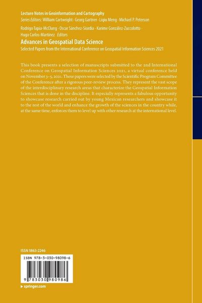
This book presents a selection of manuscripts submitted to the 2nd International Conference on Geospatial Information Sciences 2021, a virtual conference held on November 3-5, 2021. These papers were selected by the Scientific Program Committee of the Conference after a rigorous peer-review process. They represent the vast scope of the interdisciplinary research areas that characterize the Geospatial Information Sciences that is done in the discipline. It especially represents a fabulous opportunity to showcase research carried out by young Mexican researchers and showcase it to the rest of the world and enhance the growth of the sciences in the country while, at the same time, enforces them to level up with other research at the international level.
Kundinnen und Kunden meinen
Verfassen Sie die erste Bewertung zu diesem Artikel
Helfen Sie anderen Kund*innen durch Ihre Meinung
Kurze Frage zu unserer Seite
Vielen Dank für dein Feedback
Wir nutzen dein Feedback, um unsere Produktseiten zu verbessern. Bitte habe Verständnis, dass wir dir keine Rückmeldung geben können. Falls du Kontakt mit uns aufnehmen möchtest, kannst du dich aber gerne an unseren Kund*innenservice wenden.
zum Kundenservice