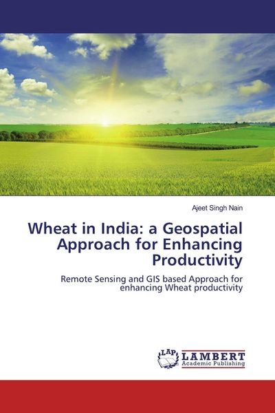
Wheat in India: a Geospatial Approach for Enhancing Productivity Remote Sensing and GIS based Approach for enhancing Wheat productivity
-
- Englisch ausgewählt
52,99 €
UVP
61,90 €
inkl. gesetzl. MwSt.,
Lieferung nach Hause
Beschreibung
Produktdetails
Einband
Taschenbuch
Erscheinungsdatum
07.10.2019
Verlag
LAP LAMBERT Academic PublishingSeitenzahl
140
Maße (L/B/H)
22/15/0,9 cm
Gewicht
227 g
Auflage
1. Auflage
Sprache
Englisch
ISBN
978-620-0-31738-4
The book provides exclusive information on the status of wheat and use of Geospatial Technology for enhancing wheat productivity. The efforts have been made to provide wheat relevant information at one place so that readers get complete knowledge of the wheat including wheat biology and factors affecting distribution of wheat in India. The major diseases and pests of wheat have also been listed in the book. The agronomical practices for enhancing wheat productivity have been given due attention. In addition to that, limiting factors of wheat growth and development such as climate change have also been presented. Crop simulation model plays an important role in optimizing the resources like irrigation, fertilizer applications, sowing time and harvesting. Therefore different simulation models developed so far across the world have also been discussed. Geospatial technology is playing a significantly increasing role in agriculture. Geospatial technology provides crucial information about the state of the crop at larger area with higher repeativity. The information becomes crucial in country like India.
Noch keine Bewertungen vorhanden
Verfassen Sie die erste Bewertung zu diesem Artikel
Helfen Sie anderen Kundinnen und Kunden durch Ihre Meinung.
Kurze Frage zu unserer Seite
Vielen Dank für dein Feedback
Wir nutzen dein Feedback, um unsere Produktseiten zu verbessern. Bitte habe Verständnis, dass wir dir keine Rückmeldung geben können. Falls du Kontakt mit uns aufnehmen möchtest, kannst du dich aber gerne an unseren Kund*innenservice wenden.
zum Kundenservice