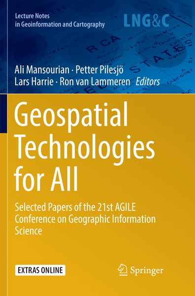
Geospatial Technologies for All Selected Papers of the 21st AGILE Conference on Geographic Information Science
-
- Hardcover
- Taschenbuch ausgewählt
- eBook
-
Sprache:Englisch
171,99 €
UVP
192,59 €
inkl. gesetzl. MwSt.,
Beschreibung
Produktdetails
Einband
Taschenbuch
Erscheinungsdatum
14.12.2018
Abbildungen
XIII, 382 p. 146 illus., 130 illus. in color.
Herausgeber
Ali Mansourian + weitereVerlag
SpringerSeitenzahl
382
Maße (B/H)
15,5/23,5 cm
Gewicht
598 g
Auflage
Softcover reprint of the original 1st ed. 2018
Sprache
Englisch
ISBN
978-3-030-08642-8
This book presents the research papers accepted for the 21st AGILE Conference on Geographic Information Science, held at Lund University Geographical Information Systems (GIS) Centre, Sweden on 12–15 June 2018. It discusses the role of geospatial technologies in the digitalization of society and is intended primarily for professionals and researchers in fields that can benefit from geoinformation – both within and outside the area of geographic information science.
Noch keine Bewertungen vorhanden
Verfassen Sie die erste Bewertung zu diesem Artikel
Helfen Sie anderen Kundinnen und Kunden durch Ihre Meinung.
Kurze Frage zu unserer Seite
Vielen Dank für dein Feedback
Wir nutzen dein Feedback, um unsere Produktseiten zu verbessern. Bitte habe Verständnis, dass wir dir keine Rückmeldung geben können. Falls du Kontakt mit uns aufnehmen möchtest, kannst du dich aber gerne an unseren Kund*innenservice wenden.
zum Kundenservice