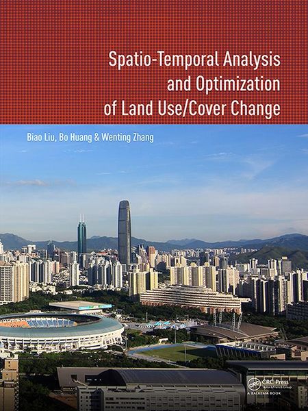
Spatio-temporal Analysis and Optimization of Land Use/Cover Change Shenzhen as a Case Study
-
Form:Einzelkauf Download
-
Sprache:Englisch
-
eBook Format:PDF
- PDF 92,49 € ausgewählt
- ePUB 3 92,49 €
92,49 €
inkl. gesetzl. MwSt.Beschreibung
Produktdetails
Format
Kopierschutz
Ja
Family Sharing
Nein
Text-to-Speech
Nein
Erscheinungsdatum
07.08.2017
Verlag
Taylor & Francis eBooksSeitenzahl
206 (Printausgabe)
Dateigröße
114107 KB
Sprache
Englisch
EAN
9781351966740
This book proposes a method to solve land use problems, and has made some significant contributions to the land use analysis and optimization study fields. Firstly, three spatio-temporal logit models for land use change analysis, namely, geographically and temporally weighted logit model (GTWLM), spatio-temporal panel logit model (ST-PLM) and generalized spatio-temporal logit model (GSTLM), are proposed. GTWLM, which considers spatio-temporal non-stationarity, includes temporal data in a spatio-temporal framework by proposing a spatiotemporal distance. ST-PLM incorporates the spatio-temporal correlation and individual effect in one model. By integrating GTWLM and ST-PLM, the GSTLM explores spatio-temporal non-stationarity and correlations simultaneously, whilst considering their individual effects to construct an integrated model.
Secondly, a MOO-based two-level spatial planning of land use is proposed. The spatial planning aims at managing and coordinating the land use at different geographic extents and involves spatial layouts and structures of land use at different levels. In spatial planning, GIS and Remote Sensing are used to evaluate, analyze, and measure environmental, economic and social issues. The quantitative relationships between these objectives and spatial land use allocation are then used as rules in the MOO process to simulate environmental conditions under different spatial land use allocation scenarios. The book features a case study of Shenzhen city, the most important Special Economic Zone in China.
This book will be of interest to academics and professionals in the fields of urban planning, land resource management, remote sensing and geographic information systems.
Noch keine Bewertungen vorhanden
Verfassen Sie die erste Bewertung zu diesem Artikel
Helfen Sie anderen Kundinnen und Kunden durch Ihre Meinung.
Kurze Frage zu unserer Seite
Vielen Dank für dein Feedback
Wir nutzen dein Feedback, um unsere Produktseiten zu verbessern. Bitte habe Verständnis, dass wir dir keine Rückmeldung geben können. Falls du Kontakt mit uns aufnehmen möchtest, kannst du dich aber gerne an unseren Kund*innenservice wenden.
zum Kundenservice