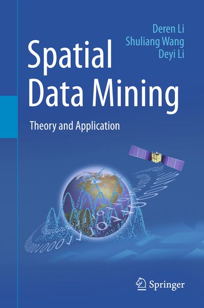
Spatial Data Mining Theory and Application
-
- Taschenbuch
- eBook
- ausgewählt
-
Sprache:Englisch
-
Verlag:Springer Berlin
- Springer 85,59 €
- Springer Berlin 76,99 € ausgewählt
-
Auflage:1st ed. 2015
76,99 €
UVP
85,59 €
inkl. gesetzl. MwSt.,
Beschreibung
Produktdetails
Einband
Gebundene Ausgabe
Erscheinungsdatum
05.04.2016
Abbildungen
XXVIII, 308 p. 103 illus., 81 illus. in color.
Verlag
Springer BerlinSeitenzahl
308
Maße (L/B/H)
24,1/16/2,4 cm
Gewicht
618 g
Auflage
1st ed. 2015
Sprache
Englisch
ISBN
978-3-662-48536-1
· This book is an updated version of awell-received book previously published in Chinese by Science Press of China(the first edition in 2006 and the second in 2013). It offers a systematic andpractical overview of spatial data mining, which combines computer science andgeo-spatial information science, allowing each field to profit from theknowledge and techniques of the other. To address the spatiotemporalspecialties of spatial data, the authors introduce the key concepts andalgorithms of the data field, cloud model, mining view, and Deren Li methods.The data field method captures the interactions between spatial objects bydiffusing the data contribution from a universe of samples to a universe ofpopulation, thereby bridging the gap between the data model and the recognitionmodel. The cloud model is a qualitative method that utilizes quantitativenumerical characters to bridge the gap between pure data and linguisticconcepts. The mining view method discriminates the different requirements byusing scale, hierarchy, and granularity in order to uncover the anisotropy ofspatial data mining. The Deren Li method performs data preprocessing to prepareit for further knowledge discovery by selecting a weight for iteration in orderto clean the observed spatial data as much as possible. In addition to theessential algorithms and techniques, the book provides application examples ofspatial data mining in geographic information science and remote sensing. Thepractical projects include spatiotemporal video data mining for protectingpublic security, serial image mining on nighttime lights for assessing theseverity of the Syrian Crisis, and the applications in the government project‘the Belt and Road Initiatives’.
Noch keine Bewertungen vorhanden
Verfassen Sie die erste Bewertung zu diesem Artikel
Helfen Sie anderen Kundinnen und Kunden durch Ihre Meinung.
Kurze Frage zu unserer Seite
Vielen Dank für dein Feedback
Wir nutzen dein Feedback, um unsere Produktseiten zu verbessern. Bitte habe Verständnis, dass wir dir keine Rückmeldung geben können. Falls du Kontakt mit uns aufnehmen möchtest, kannst du dich aber gerne an unseren Kund*innenservice wenden.
zum Kundenservice