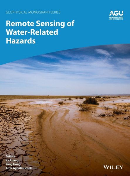
Remote Sensing of Water-Related Hazards
227,99 €
inkl. gesetzl. MwSt.,
Beschreibung
Produktdetails
Einband
Gebundene Ausgabe
Erscheinungsdatum
19.04.2022
Herausgeber
Ke Zhang + weitereVerlag
John Wiley & Sons IncSeitenzahl
272
Maße (L/B/H)
22,2/28,7/2 cm
Gewicht
978 g
Auflage
1. Auflage
Sprache
Englisch
ISBN
978-1-119-15912-4
Water-related hazards such as floods and droughts have serious impacts on society. Their incidence has increased in recent decades, a trend set to continue with ongoing climate change. Adaptation and mitigation measures require accurate detection, monitoring, and forecasting, much of which comes from remote sensing technologies.
Remote Sensing of Water-Related Hazards takes an interdisciplinary approach, presenting recent advances in the available data, sensors, models, and indicators developed for monitoring and prediction.
Volume highlights include:
* Progress in remote sensing of precipitation, storms, and tornados
* Different techniques for flood mapping, forecasting, and early warning
* Integrated approach for predicting flood and landslide cascading hazards
* Satellite monitoring of water cycle variation, water scarcity, and drought conditions
* Multi-indicator and multi-sensor approaches for quantifying drought impacts
The American Geophysical Union promotes discovery in Earth and space science for the benefit of humanity. Its publications disseminate scientific knowledge and provide resources for researchers, students, and professionals.
Noch keine Bewertungen vorhanden
Verfassen Sie die erste Bewertung zu diesem Artikel
Helfen Sie anderen Kundinnen und Kunden durch Ihre Meinung.
Kurze Frage zu unserer Seite
Vielen Dank für dein Feedback
Wir nutzen dein Feedback, um unsere Produktseiten zu verbessern. Bitte habe Verständnis, dass wir dir keine Rückmeldung geben können. Falls du Kontakt mit uns aufnehmen möchtest, kannst du dich aber gerne an unseren Kund*innenservice wenden.
zum Kundenservice