
KI-Beratung Beta

  • Produktbild: Best Easy Day Hikes Fort Collins
  • Produktbild: Best Easy Day Hikes Fort Collins

Best Easy Day Hikes Fort Collins

17,99 €

inkl. gesetzl. MwSt., Versandkostenfrei


Beschreibung

Featuring 24 hikes within an hour's drive of Fort Collins, Best Easy Day Hikes Fort Collins is an essential hiking companion for anyone exploring this area known for its sunny days and outdoor adventures. Scramble up the granite summit of Horsetooth Mountain, watch the birds along the Poudre River on...

Beschreibung

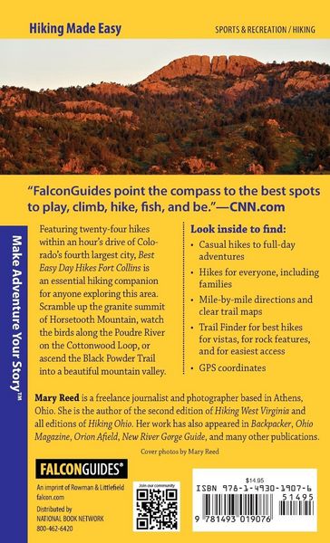
Featuring 24 hikes within an hour's drive of Fort Collins, Best Easy Day Hikes Fort Collins is an essential hiking companion for anyone exploring this area known for its sunny days and outdoor adventures. Scramble up the granite summit of Horsetooth Mountain, watch the birds along the Poudre River on the Cottonwood Loop, or ascend the Black Powder Trail into a beautiful mountain valley. Each hike includes concise descriptions, GPS coordinates, and detailed maps.
Look inside for:

  • Casual hikes to full-day adventures
  • Hikes for everyone, including families
  • mile-by-mile directions and clear trail maps
  • Trail Finder for best hikes for vistas, for river lovers, for rock features, and for easiest access
  • GPS coordinates

Produktdetails

Einband

Taschenbuch

Erscheinungsdatum

01.05.2016

Abbildungen

25 Maps

Verlag Rowman & Littlefield

Produktdetails

Einband

Taschenbuch

Erscheinungsdatum

01.05.2016

Abbildungen

25 Maps

Verlag Rowman & Littlefield
Seitenzahl

122

Maße (L/B/H)

17,8/10,8/0,8 cm

Gewicht

105 g

Sprache

Englisch

ISBN

978-1-4930-1907-6

Noch keine Bewertungen vorhanden

Verfassen Sie die erste Bewertung zu diesem Artikel

Helfen Sie anderen Kundinnen und Kunden durch Ihre Meinung.

Kundinnen und Kunden meinen

Bewertungen (0)

Die Leseprobe wird geladen.
  • Produktbild: Best Easy Day Hikes Fort Collins
  • Produktbild: Best Easy Day Hikes Fort Collins
  • Acknowledgments
    Overview Map
    Introduction
    How to Use this Guide
    Trail Finder

    The Hikes
    1. Bent Rock Trail, Red Mountain Open Space
    2. Towhee Loop, Soapstone Prairie Natural Area
    3. 3 Bar Trail, Eagle’s Nest Open Space
    4. Kreutzer Nature Trail, Roosevelt National Forest
    5. Hewlett Gulch Trail, Roosevelt National Forest
    6. Greyrock Trail, Roosevelt National Forest
    7. Black Powder Trail, Gateway Natural Area13
    8. Well Gulch Nature Trail, Lory State Park
    9. Arthur’s Rock Trail, Lory State Park
    10. Shoreline Trail, Lory State Park
    11. Horsetooth Rock Trail, Horsetooth Mountain Open Space
    12. Horsetooth Falls Trail, Horsetooth Mountain Open Space
    13. North Loop Trail, Reservoir Ridge Natural Area
    14. North Shields Ponds Loop, North Shields Ponds Natural Area
    15. Riverbend Ponds Loop, Riverbend Ponds Natural Area
    16. Cottonwood Loop, CSU Environmental Learning Center
    17. Foothills to Reservoir Trail Loop, Pineridge Natural Area
    18. Coyote Ridge Trail, Coyote Ridge Natural Area
    19. Cattail Flats Trail, Fossil Creek Natural Area
    20. Devil’s Backbone Wild Loop, Devil’s Backbone Open Space
    21. Valley Loop, Bobcat Ridge Natural Area
    22. Foothills Nature Trail, Roosevelt National Forest
    23. Crosier Mountain Trail, Roosevelt National Forest
    24. Shoshone to Besant Point Trail, Ramsay-Shockey Open Space