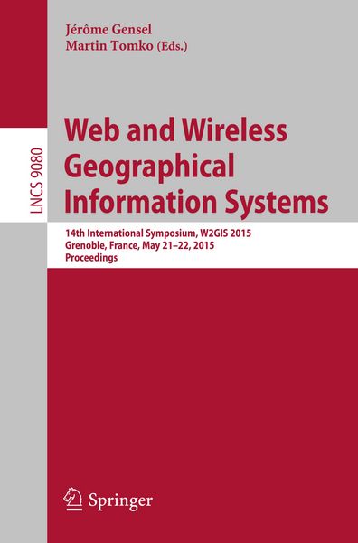
Web and Wireless Geographical Information Systems 14th International Symposium, W2GIS 2015, Grenoble, France, May 21-22, 2015, Proceedings
-
- Taschenbuch ausgewählt
- eBook
-
Sprache:Englisch
47,99 €
inkl. gesetzl. MwSt.,
Beschreibung
Produktdetails
Einband
Taschenbuch
Erscheinungsdatum
04.05.2015
Abbildungen
X, 203 p. 79 illus.
Herausgeber
Jérôme Gensel + weitereVerlag
SpringerSeitenzahl
203
Maße (L/B/H)
23,5/15,5/1,2 cm
Gewicht
335 g
Sprache
Englisch
ISBN
978-3-319-18250-6
The 12 revised full papers presented were carefully selected from 19 submissions. Selected papers cover hot topics related to W2GIS including spatiotemporal data collection, processing and visualization, mobile user generated content, semantic trajectories, locationbased Web search, Cloud computing and VGI approaches.
Noch keine Bewertungen vorhanden
Verfassen Sie die erste Bewertung zu diesem Artikel
Helfen Sie anderen Kundinnen und Kunden durch Ihre Meinung.
Kurze Frage zu unserer Seite
Vielen Dank für dein Feedback
Wir nutzen dein Feedback, um unsere Produktseiten zu verbessern. Bitte habe Verständnis, dass wir dir keine Rückmeldung geben können. Falls du Kontakt mit uns aufnehmen möchtest, kannst du dich aber gerne an unseren Kund*innenservice wenden.
zum Kundenservice