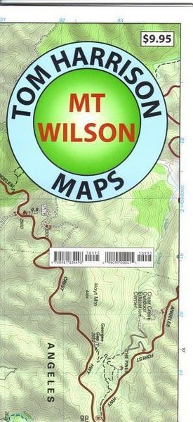
A typical Tom Harrison Map, beautiful shaded relief contour, precise trail tracing and trail heads are precisely where they suppose to be. This 2013 contains all changes to trails that occur after a decade of fires, trail reconstructions, etc. Printed on waterproof and tear resistant material in beautiful colors. Mt. Wilson area gives access to many popular climbs and hiking trails. Some of the most popular are Josephine, Strawberry Peaks, Baden Powell and Mt. Lowe. Available only folded.
Noch keine Bewertungen vorhanden
Verfassen Sie die erste Bewertung zu diesem Artikel
Helfen Sie anderen Kundinnen und Kunden durch Ihre Meinung.
Kurze Frage zu unserer Seite
Vielen Dank für dein Feedback
Wir nutzen dein Feedback, um unsere Produktseiten zu verbessern. Bitte habe Verständnis, dass wir dir keine Rückmeldung geben können. Falls du Kontakt mit uns aufnehmen möchtest, kannst du dich aber gerne an unseren Kund*innenservice wenden.