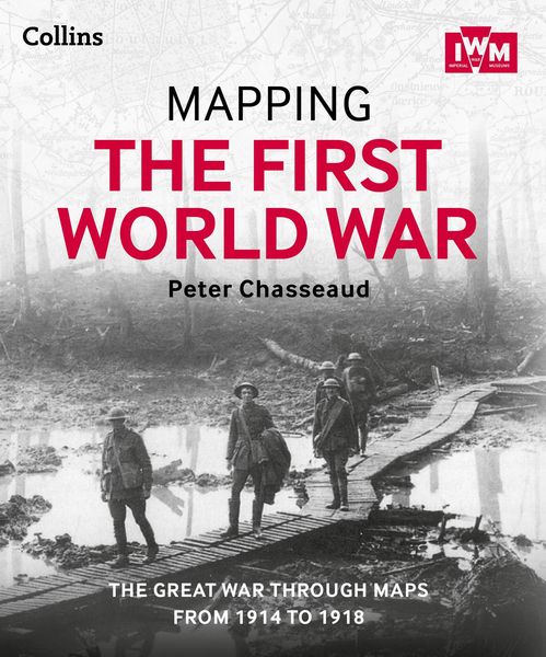
Mapping the First World War The Great War through maps from 1914-1918
-
- Einzelkauf Download ausgewählt
-
Sprache:Englisch
20,99 €
inkl. gesetzl. MwSt.Beschreibung
Produktdetails
Format
ePUB
Kopierschutz
Ja
Family Sharing
Ja
Text-to-Speech
Ja
Erscheinungsdatum
24.10.2013
Verlag
HarperCollinsSeitenzahl
304 (Printausgabe)
Dateigröße
492914 KB
Sprache
Englisch
EAN
9780007525805
Follow the conflict of the World War 1 from 1914-1918 through a unique collection of historical maps, expert commentary and photographs. Published in association and including mapping from the archives of the Imperial War Museums.
Ebook best viewed on a tablet.
Over 100 maps demonstrating how the Great War was fought around the world.
Types of maps featured:
. Small scale maps showing country boundaries and occupied territories
. Large-scale maps covering the key battles and offensives on all fronts of the war
. Trench maps showing detailed positions of the front line
. Maps from newspapers, battle planning and propaganda
Key offensives covered include:
. The Battles of the Marne and Ypres
. Tannenberg and the Eastern Front
. Verdun and the Somme
. The Gallipoli Campaign
. Battle of Jutland
. The Advances to Jerusalem, Damascus and Baghdad
. Vimy Ridge and Passchendaele
. German 1918 offensives and Allied counter-offensives
. Battle of Jutland
Along with the maps, key historical events are described, giving an illustrated history of the war from an expert historian.
Noch keine Bewertungen vorhanden
Verfassen Sie die erste Bewertung zu diesem Artikel
Helfen Sie anderen Kundinnen und Kunden durch Ihre Meinung.
Kurze Frage zu unserer Seite
Vielen Dank für dein Feedback
Wir nutzen dein Feedback, um unsere Produktseiten zu verbessern. Bitte habe Verständnis, dass wir dir keine Rückmeldung geben können. Falls du Kontakt mit uns aufnehmen möchtest, kannst du dich aber gerne an unseren Kund*innenservice wenden.
zum Kundenservice