LU/LC Map and Digital Elevation Model of Jharia Town using RS-GIS Preparation & analysis of landuse/landcover map and digital elevation model of Jharia town in Jharia coal field region
-
- Englisch ausgewählt
48,99 €
UVP
54,90 €
inkl. gesetzl. MwSt.,
Lieferung nach Hause
Beschreibung
Produktdetails
Einband
Taschenbuch
Erscheinungsdatum
31.05.2013
Verlag
LAP LAMBERT Academic PublishingSeitenzahl
92
Maße (L/B/H)
22/15/0,7 cm
Gewicht
155 g
Sprache
Englisch
ISBN
978-3-659-40465-8
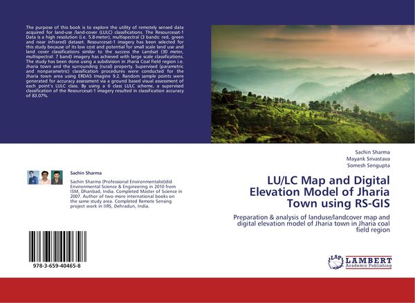
The purpose of this book is to explore the utility of remotely sensed data acquired for land-use /land-cover (LULC) classifications. The Resourcesat-1 Data is a high resolution (i.e. 5.8-meter), multispectral (3 bands: red, green and near infrared) dataset. Resourcesat-1 imagery has been selected for this study because of its low cost and potential for small scale land use and land cover classifications similar to the success the Landsat (30 meter, multispectral: 7 band) imagery has achieved with large scale classifications. The study has been done using a subdivision in Jharia Coal Field region i.e. Jharia town and the surrounding (rural) property. Supervised (parametric and nonparametric) classification procedures were conducted for the Jharia town area using ERDAS Imagine 9.2. Random sample points were generated for accuracy assessment via a ground based visual assessment of each point's LULC class. By using a 6 class LULC scheme, a supervised classification of the Resourcesat-1 imagery resulted in classification accuracy of 83.07%.
Kundinnen und Kunden meinen
Verfassen Sie die erste Bewertung zu diesem Artikel
Helfen Sie anderen Kund*innen durch Ihre Meinung
Kurze Frage zu unserer Seite
Vielen Dank für dein Feedback
Wir nutzen dein Feedback, um unsere Produktseiten zu verbessern. Bitte habe Verständnis, dass wir dir keine Rückmeldung geben können. Falls du Kontakt mit uns aufnehmen möchtest, kannst du dich aber gerne an unseren Kund*innenservice wenden.
zum Kundenservice