Gutscheinbedingungen

**Gültig vom 20.07.2026 bis 22.07.2026 | Gültig für nicht preisgebundene fremdsprachige Bücher | Einzelne Artikel können ausgeschlossen sein | Nicht kombinierbar mit anderen Gutscheinen oder Preisaktionen | Nur einmal pro Einkauf einlösbar | Gutschein wird auf max. 500€ Bestellwert angerechnet | Keine Barauszahlung | Nicht gültig für Versandkosten und Services

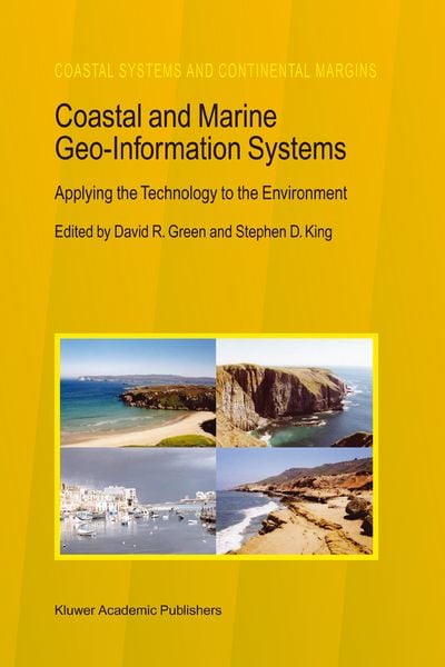
  • Produktbild: Coastal and Marine Geo-Information Systems
  • Produktbild: Coastal and Marine Geo-Information Systems
Band 4 - 13%

Coastal and Marine Geo-Information Systems Applying the Technology to the Environment

13% sparen

324,99 € UVP 374,49 €

inkl. gesetzl. MwSt., Versandkostenfrei

Lieferung nach Hause

Beschreibung

Produktdetails

Einband

Taschenbuch

Erscheinungsdatum

08.12.2010

Herausgeber

David R. Green + weitere

Verlag

Springer Netherland

Seitenzahl

596

Maße (L/B/H)

23,5/15,5/3,4 cm

Gewicht

925 g

Auflage

Softcover reprint of the original 1st ed. 2003

Sprache

Englisch

ISBN

978-90-481-5210-0

Beschreibung

Produktdetails

Einband

Taschenbuch

Erscheinungsdatum

08.12.2010

Herausgeber

Verlag

Springer Netherland

Seitenzahl

596

Maße (L/B/H)

23,5/15,5/3,4 cm

Gewicht

925 g

Auflage

Softcover reprint of the original 1st ed. 2003

Sprache

Englisch

ISBN

978-90-481-5210-0

Herstelleradresse

Springer-Verlag KG
Sachsenplatz 4-6
1201 Wien
AT

Email: GPSR Kontakt

Noch keine Bewertungen vorhanden

Verfassen Sie die erste Bewertung zu diesem Artikel

Helfen Sie anderen Kundinnen und Kunden durch Ihre Meinung.

Kundinnen und Kunden meinen

Bewertungen (0)

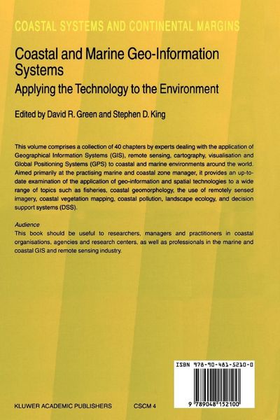
  • Produktbild: Coastal and Marine Geo-Information Systems
  • Produktbild: Coastal and Marine Geo-Information Systems
  • The Setting.- The Coastal Zone Environment: A Place to Work, Rest, Play and to Manage.- The North East Coastline of Scotland.- The Coastal Zone.- Coastal/Marine GI/GIS - A Pan-European Perspective.- Plans for the Coastal Zone.- Hydrographic Data and Geographical Information Systems.- Example Applications.- GIS for Sustainable Coastal Zone Management in the Pacific - A Strategy.- Managing Marine Resources: The Role of GIS in EEZ Management.- The Management Plan of the Wadden Sea and its Visualisation.- Using GIS for Siting Artificial Reefs - Data Issues, Problems and Solutions: ‘Real World’ to ‘Real World’.- Collating the Past for Assessing the Future: Analysis of the Subtidal and Intertidal Data Records Within GIS.- Identifying Sites for Flood Protection - A Case Study from the River Clyde.- Arctic Coastal and Marine Environmental Monitoring.- A GIS Application for the Study of Beach Morphodynamics.- Determination and Prediction of Sediment Yields from Recession of the Holderness Coast.- Tracing the Recent Evolution of the Littoral Spit at El Rompido, Huelva (Spain) Using Remote Sensing and GIS.- Littoral and Shoreline Processes in Large Man-Made Lakes.- Coastal Zone Management: The Case of Castellón.- Habitat.- Evaluating the Coastal Environment for Marine Birds.- Initial Attempts to Assess the Importance of the Distribution of Saltmarsh Communities on the Sediment Budget of the North Norfolk Coast.- Quantifying Landscape / Ecological Succession in a Coastal Dune System Using Sequential Aerial Photography and GIS.- Geomatics for the Management of Oyster Culture Leases and Production.- GIS and Aquaculture: Soft-Shell Clam Site Assessment.- Evaluation of Ecological Effects of the North Sea Industrial Fishing Industry on the Availability of Human ConsumptionSpecies Using Geographical Distribution Resource Data.- Technology.- Digital Elevation Models by Laserscanning.- Error Modeling and Management for Data in Geospatial Information Systems.- The Use of Dynamic Segmentation in the Coastal Information System: Adjacency Relationships from Southeastern Newfoundland, Canada.- Consideration on Satellite Data Correction by Bidirectional Reflectance Measurement of Coastal Sand with a Remote Sensing Simulator.- Constructing a Geomorphological Database of Coastal Change Using GIS.- Geographic Information Systems and Decision Support Systems.- Development of a DSS for the Integrated Development of Thassos Island.- Development of a Spatial Decision Support System for the Biological Influences on Inter-Tidal Areas (Biota) Project within the Land Ocean Interaction Study.- User Assessment of Coastal Spatial Decision Support Systems.- Internet-Based Information Systems: The Forth Estuary Forum (FEF) System.- Mike Info Coast - A GIS-Based Tool for Coastal Zone Management.- Remote Sensing.- Matching Issue to Utility: An Hierarchical Store of Remotely Sensed Imagery for Coastal Zone Management.- Predicting the Distribution of Marine Benthic Biotopes in Scottish Conservation Areas Using Acoustic Remote Sensing, Underwater Video and GIS.- Submerged Kelp Biomass Assessment using CASI.- Monitoring Coastal Morphological Changes Using Topographical Methods, Softcopy Photogrammetry and GIS, Huelva (Andalucia, Spain).- Characterization of Coastal Waters for the Monitoring of Pollution by Means of Remote Sensing; the Use of Satellite Imagery to Establish the Appropriate Pattern for Timing and Location of Sampling in Coastal Waters.- Developments and the Future.- European CZM and the Global Spatial Data Infrastructure Initiative (GSDI).- Access to Marine Data on the Internet for Coastal Zone Management: The New Millennium.