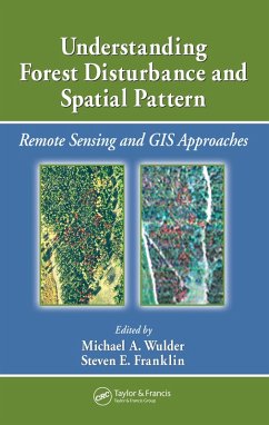
Understanding Forest Disturbance and Spatial Pattern (eBook, ePUB)
Remote Sensing and GIS Approaches
Redaktion: Wulder, Michael A.; Franklin, Steven E.

PAYBACK Punkte
24 °P sammeln!
Remote sensing and GIS are increasingly used as tools for monitoring and managing forests. Remotely sensed and GIS data are now the data sources of choice for capturing, documenting, and understanding forest disturbance and landscape pattern. Sitting astride the fields of ecology, forestry, and remote sensing/GIS, Understanding Forest Disturbanc
Dieser Download kann aus rechtlichen Gründen nur mit Rechnungsadresse in A, B, BG, CY, CZ, D, DK, EW, E, FIN, F, GR, HR, H, IRL, I, LT, L, LR, M, NL, PL, P, R, S, SLO, SK ausgeliefert werden.


