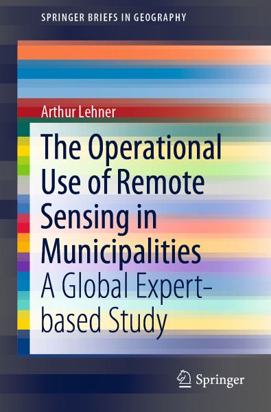
The Operational Use of Remote Sensing in Municipalities (eBook, PDF)
A Global Expert-based Study
Versandkostenfrei!
Sofort per Download lieferbar
40,95 €
inkl. MwSt.
Weitere Ausgaben:

PAYBACK Punkte
20 °P sammeln!
This book presents the operational use of remote sensing in municipalities for urban planning purposes. Through a unique study among more than 70 cities and institutions in 41 countries, it reveals the remaining gap of knowledge and awareness for remote sensing data, methods, and instruments. It sheds light on the uncertainties and shows what remote sensing data are acquired and by which departments they are used. The tasks and activities remote sensing data are used for, are extensively presented. In the times of open government data, digital citizenship and participation movements, this book...
This book presents the operational use of remote sensing in municipalities for urban planning purposes. Through a unique study among more than 70 cities and institutions in 41 countries, it reveals the remaining gap of knowledge and awareness for remote sensing data, methods, and instruments. It sheds light on the uncertainties and shows what remote sensing data are acquired and by which departments they are used. The tasks and activities remote sensing data are used for, are extensively presented. In the times of open government data, digital citizenship and participation movements, this book provides a comprehensive overview of the topic and intends to raise the awareness for the importance of remote sensing to the society.
Dieser Download kann aus rechtlichen Gründen nur mit Rechnungsadresse in A, B, BG, CY, CZ, D, DK, EW, E, FIN, F, GR, HR, H, IRL, I, LT, L, LR, M, NL, PL, P, R, S, SLO, SK ausgeliefert werden.


