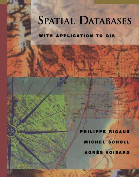
Spatial Databases (eBook, PDF)
With Application to GIS

PAYBACK Punkte
29 °P sammeln!
Spatial Databases is the first unified, in-depth treatment of special techniques for dealing with spatial data, particularly in the field of geographic information systems (GIS). This book surveys various techniques, such as spatial data models, algorithms, and indexing methods, developed to address specific features of spatial data that are not adequately handled by mainstream DBMS technology. The book also reviews commercial solutions to geographic data handling: ArcInfo, ArcView, and Smallworld GISs; and two extensions to the relational model, PostgreSQL and Oracle Spatial. The authors exam...
Spatial Databases is the first unified, in-depth treatment of special techniques for dealing with spatial data, particularly in the field of geographic information systems (GIS). This book surveys various techniques, such as spatial data models, algorithms, and indexing methods, developed to address specific features of spatial data that are not adequately handled by mainstream DBMS technology. The book also reviews commercial solutions to geographic data handling: ArcInfo, ArcView, and Smallworld GISs; and two extensions to the relational model, PostgreSQL and Oracle Spatial. The authors examine these underlying GIS technologies, assess their strengths and weaknesses, and consider specific uses for which each product is best suited.* Examines the strengths of various query languages and approaches to query processing.* Explains the use of computational geometry in spatial databases GISs, providing necessary background and an in-depth look at key algorithms.* Covers spatial access methods, including the R-tree and several space-driven structures, and is filled with dozens of helpful illustrations.
Dieser Download kann aus rechtlichen Gründen nur mit Rechnungsadresse in A, B, BG, CY, CZ, D, DK, EW, E, FIN, F, GR, HR, H, IRL, I, LT, L, LR, M, NL, PL, P, R, S, SLO, SK ausgeliefert werden.


