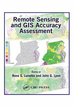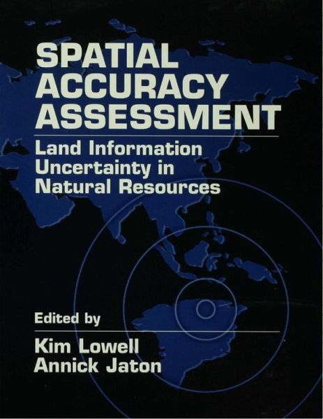
Spatial Accuracy Assessment (eBook, PDF)
Land Information Uncertainty in Natural Resources
Redaktion: Lowell, Kim; Jaton, Annick

PAYBACK Punkte
80 °P sammeln!
Spatial technologies such as GIS and remote sensing are widely used for environmental and natural resource studies. Spatial Accuracy Assessment provides state-of-the-science methods, techniques and real-world solutions designed to validate spatial data, to meet quality assurance objectives, and to ensure cost-effective project implementation.
Dieser Download kann aus rechtlichen Gründen nur mit Rechnungsadresse in A, B, BG, CY, CZ, D, DK, EW, E, FIN, F, GR, HR, H, IRL, I, LT, L, LR, M, NL, PL, P, R, S, SLO, SK ausgeliefert werden.


