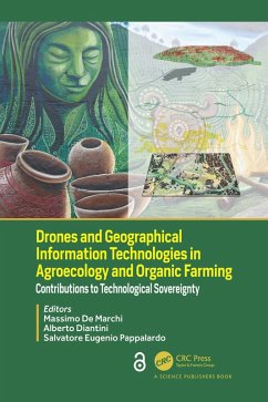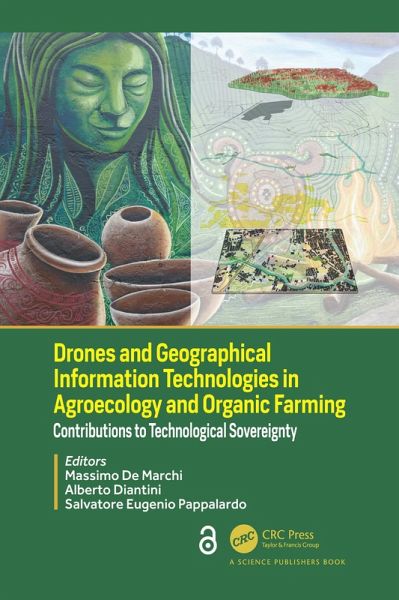
Drones and Geographical Information Technologies in Agroecology and Organic Farming (eBook, ePUB)
Contributions to Technological Sovereignty
Redaktion: de Marchi, Massimo; Eugenio Pappalardo, Salvatore; Diantini, Alberto
Versandkostenfrei!
Sofort per Download lieferbar
0,00 €
inkl. MwSt.
Weitere Ausgaben:

PAYBACK Punkte
0 °P sammeln!
Although organic farming and agroecology are normally not associated with the use of new technologies, it's rapid growth, new technologies are being adopted to mitigate environmental impacts of intensive production implemented with external material and energy inputs. GPS, satellite images, GIS, drones, help conventional farming in precision supply of water, pesticides, fertilizers. Prescription maps define the right place and moment for interventions of machinery fleets. Yield goal remains the key objective, integrating a more efficient use or resources toward an economic-environmental sustai...
Although organic farming and agroecology are normally not associated with the use of new technologies, it's rapid growth, new technologies are being adopted to mitigate environmental impacts of intensive production implemented with external material and energy inputs. GPS, satellite images, GIS, drones, help conventional farming in precision supply of water, pesticides, fertilizers. Prescription maps define the right place and moment for interventions of machinery fleets. Yield goal remains the key objective, integrating a more efficient use or resources toward an economic-environmental sustainability. Technological smart farming allows extractive agriculture entering the sustainability era. Societies that practice agroecology through the development of human-environmental co-evolutionary systems represent a solid model of sustainability. These systems are characterized by high-quality agroecosystems and landscapes, social inclusion, and viable economies.
This book explores the challenges posed by the new geographic information technologies in agroecology and organic farming. It discusses the differences among technology-laden conventional farming systems and the role of technologies in strengthening the potential of agroecology. The first part reviews the new tools offered by geographic information technologies to farmers and people. The second part provides case studies of most promising application of technologies in organic farming and agroecology: the diffusion of hyperspectral imagery, the role of positioning systems, the integration of drones with satellite imagery. The third part of the book, explores the role of agroecology using a multiscale approach from the farm to the landscape level. This section explores the potential of Geodesign in promoting alliances between farmers and people, and strengthening food networks, whether through proximity urban farming or asserting land rights in remote areas in the spirit of agroecological transition.
The Open Access version of this book, available at www.taylorfrancis.com, has been made available under a Creative Commons 4.0 license.
Dieser Download kann aus rechtlichen Gründen nur mit Rechnungsadresse in A, B, BG, CY, CZ, D, DK, EW, E, FIN, F, GR, HR, H, IRL, I, LT, L, LR, M, NL, PL, P, R, S, SLO, SK ausgeliefert werden.


