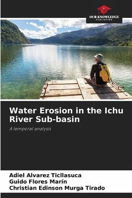
Water Erosion in the Ichu River Sub-basin
A temporal analysis
Versandkostenfrei!
Versandfertig in 6-10 Tagen
45,99 €
inkl. MwSt.

PAYBACK Punkte
23 °P sammeln!
The present investigation was carried out in the sub-basin of the Ichu River with a surface area of 138,317.2 ha and is located between the geographical coordinates UTM 501381.5 m (X) and 8586997.9 m (Y). The general objective was to estimate the level of water erosion of the Ichu River Sub-watershed 2013 and 2017; as specific objectives, a) to quantify the rainfall erosivity of the Ichu River sub-watershed for the years 2013 and 2017, b) to estimate the soil erodibility of the Ichu River sub-watershed, c) to determine the length and slope of the Ichu River sub-watershed and d) to determine th...
The present investigation was carried out in the sub-basin of the Ichu River with a surface area of 138,317.2 ha and is located between the geographical coordinates UTM 501381.5 m (X) and 8586997.9 m (Y). The general objective was to estimate the level of water erosion of the Ichu River Sub-watershed 2013 and 2017; as specific objectives, a) to quantify the rainfall erosivity of the Ichu River sub-watershed for the years 2013 and 2017, b) to estimate the soil erodibility of the Ichu River sub-watershed, c) to determine the length and slope of the Ichu River sub-watershed and d) to determine the changes in water erosion resulting from vegetation cover for the year 2013 and 2017. The general methods used were the analysis and synthesis of the Universal Soil Loss Equation (USLE) methodology and spatial analysis with geographic information system (GIS) tools. The highest average water erosion rate that occurred in 2013 was 406.98 ton/ha/year with an area of 18.1 ha corresponding to 0.013 % of the total area, the minimum was 0.46 of the surface erosion level of the Ichu River sub-basin and the highest average water erosion occurred for 2017.


