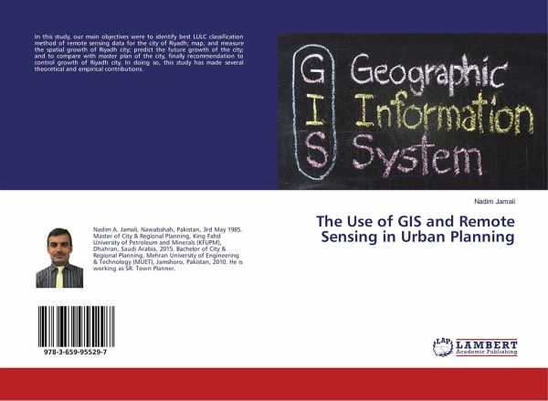
The Use of GIS and Remote Sensing in Urban Planning
Versandkostenfrei!
Versandfertig in 1-2 Wochen
24,99 €
inkl. MwSt.

PAYBACK Punkte
12 °P sammeln!
In this study, our main objectives were to identify best LULC classification method of remote sensing data for the city of Riyadh; map, and measure the spatial growth of Riyadh city; predict the future growth of the city; and to compare with master plan of the city, finally recommendation to control growth of Riyadh city. In doing so, this study has made several theoretical and empirical contributions.


