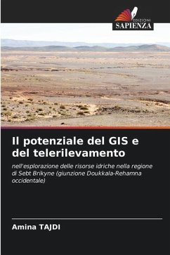
The potential of GIS and remote sensing
in the exploration of water resources in the Sebt Brikyne region (Doukkala-Western Rehamna junction)
Versandkostenfrei!
Versandfertig in 6-10 Tagen
29,99 €
inkl. MwSt.

PAYBACK Punkte
15 °P sammeln!
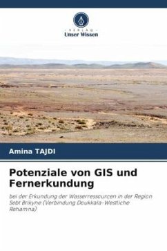
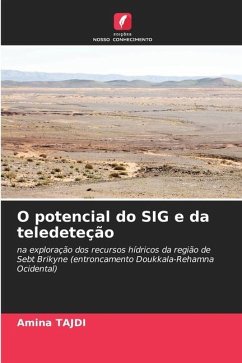
This book presents a study aimed at identifying, through the use of satellite images and Geographic Information Systems, areas potentially suitable for hydrogeological prospecting in the Sebt Brikyne region. The data used are topographic maps, geological maps, Global Digital Elevation Model (GDEM) and satellite images. GIS was used to determine the geomorphological and hydrological features of this region. The use of multi-source spatial remote sensing data enabled the production of a geological mapping sketch, which provides more information because of the detail it provides (1:100,000) compa...
This book presents a study aimed at identifying, through the use of satellite images and Geographic Information Systems, areas potentially suitable for hydrogeological prospecting in the Sebt Brikyne region. The data used are topographic maps, geological maps, Global Digital Elevation Model (GDEM) and satellite images. GIS was used to determine the geomorphological and hydrological features of this region. The use of multi-source spatial remote sensing data enabled the production of a geological mapping sketch, which provides more information because of the detail it provides (1:100,000) compared with existing cartographic documents, and the elaboration of a structural map of the lineaments affecting the area. The cross-referencing of products generated from satellite images and the digital terrain model (DTM) has enabled us to propose a recharge model for the Sebt Brikyne groundwater table.


