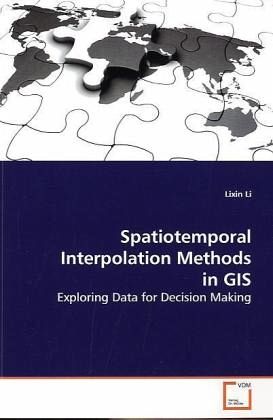
Spatiotemporal Interpolation Methods in GIS
Exploring Data for Decision Making
Versandkostenfrei!
Versandfertig in 6-10 Tagen
32,99 €
inkl. MwSt.

PAYBACK Punkte
16 °P sammeln!
Exploring large data sets with the aim of extractinguseful information for decision making can be challenging. If the datawere collected at different locations and times, one important questionis how to obtain reliable estimates for missing data in space or time.For example, measurements such as ozone concentrations are usuallycollected only by a limited number of monitoring stations and atdifferent time instances. In order to estimate the values atunmeasured locations or time instances, interpolation in continuous space andtime is needed. New and old interpolation methods for exploringspatiot...
Exploring large data sets with the aim of extracting
useful information
for decision making can be challenging. If the data
were collected at
different locations and times, one important question
is how to obtain
reliable estimates for missing data in space or time.
For example,
measurements such as ozone concentrations are usually
collected only
by a limited number of monitoring stations and at
different time
instances. In order to estimate the values at
unmeasured locations or
time instances, interpolation in continuous space and
time is needed.
New and old interpolation methods for exploring
spatiotemporal data
are discussed in this book. The selected methods are
useful for
Geographic Information Systems (GIS). This book also
includes
comparisons of selected methods for several GIS case
studies, as well
as some visualization and query examples.


