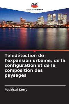
Remote sensing urban expansion, landscape configuration and composition
Versandkostenfrei!
Versandfertig in 6-10 Tagen
24,99 €
inkl. MwSt.

PAYBACK Punkte
12 °P sammeln!
There have been many textbooks on the topic of urban remote sensing applications, most with a general coverage of the key remote sensing data and characteristics, methods and techniques and spatial data and information extraction for spatial and temporal variability patterns of urban expansion and landscape configurations. It is through such an understanding that current models, methods and techniques in urban planning are incapable of addressing the structural complexity in urban landscapes with multiple anthropogenic drivers across a range of spatial scales. Here we present a simple method t...
There have been many textbooks on the topic of urban remote sensing applications, most with a general coverage of the key remote sensing data and characteristics, methods and techniques and spatial data and information extraction for spatial and temporal variability patterns of urban expansion and landscape configurations. It is through such an understanding that current models, methods and techniques in urban planning are incapable of addressing the structural complexity in urban landscapes with multiple anthropogenic drivers across a range of spatial scales. Here we present a simple method that explicitly treats spatial pattern and structure of urban landscape by incorporating landscape pattern indices or spatial metrics as derived from remote sensing and GIS data. The Sancaktepe District of Istanbul, the largest city in Turkey is used as a case study.


