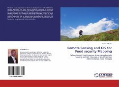
Remote Sensing and GIS for Food security Mapping
Delineation of Food Insecure Areas using Remote Sensing and GIS: the case of South Gondar Administrative Zone, Ethiopia
Versandkostenfrei!
Versandfertig in 6-10 Tagen
32,99 €
inkl. MwSt.

PAYBACK Punkte
16 °P sammeln!
The book is very important for food security Experts and GIS and Remote Sensing specialists. The food security situation nowadays is becoming worsen in developing countries. The climate change is one major factor for the case. Remote Sensing and GIS should be given with due attention to address problems. It is possible to add other responsible factors for food insecurity and overlay in GIS environment to precisely delineate the insecure ares. NDVI and its related indices are explored in the thesis. This work can be taken as a spring board to researchers to incorporate other factors and bring m...
The book is very important for food security Experts and GIS and Remote Sensing specialists. The food security situation nowadays is becoming worsen in developing countries. The climate change is one major factor for the case. Remote Sensing and GIS should be given with due attention to address problems. It is possible to add other responsible factors for food insecurity and overlay in GIS environment to precisely delineate the insecure ares. NDVI and its related indices are explored in the thesis. This work can be taken as a spring board to researchers to incorporate other factors and bring models to concerned bodies.


