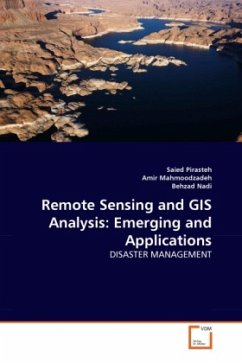
Remote Sensing and GIS Analysis: Emerging and Applications
DISASTER MANAGEMENT
Versandkostenfrei!
Versandfertig in 6-10 Tagen
32,99 €
inkl. MwSt.

PAYBACK Punkte
16 °P sammeln!
Arabia-Eurasia convergence is achieved in the NW Zagros by a combination of shortening on NW-SE trending folds and thrusts, mainly in the Zagros Structural Belt,and by right lateral strike-slip on the NW-SE-trending Main Recent Fault.The contrast stretched of ETM band 4 was found to be the best in displaying lineaments and folds for the area,hence was further processed by using directional filters and generated different combinations of False Color Composites.Finally a structural map of the study area has been prepared using the processed ETM images.This study indicates that the Landsat ETM da...
Arabia-Eurasia convergence is achieved in the NW Zagros by a combination of shortening on NW-SE trending folds and thrusts, mainly in the Zagros Structural Belt,and by right lateral strike-slip on the NW-SE-trending Main Recent Fault.The contrast stretched of ETM band 4 was found to be the best in displaying lineaments and folds for the area,hence was further processed by using directional filters and generated different combinations of False Color Composites.Finally a structural map of the study area has been prepared using the processed ETM images.This study indicates that the Landsat ETM data is useful for locating and interpretation of the structural features in the Zagros Structural Belt.Study on the Landsat ETM,images combined to field visits reveals that the area is highly active and structurally is in dynamic state due to compression forces. However the density of the structural features on the imagery calibrated to several filed visit data shows that the south and southeast of the study area are not as tectonically active that may be due to presence of thick evaporite sequence of Gachsaran Formation on the Landsat image.


