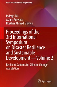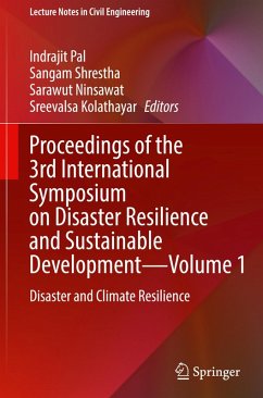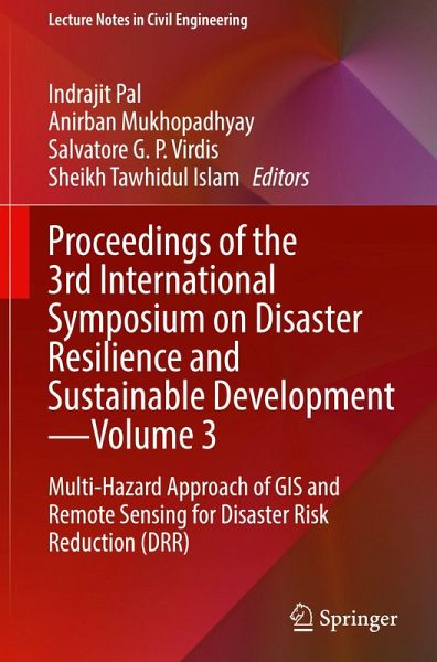
This book presents selected papers from the 3rd International Symposium on Disaster Resilience and Sustainable Development, organized by the Disaster Preparedness, Mitigation and Management Program of the Asian Institute of Technology, Thailand, in collaboration with academic institutions and organizations across the world. It assembles a compendium of research contributions addressing crucial topics at the nexus of science, technology, climate change, multiple hazards, and measures for fortifying resilience. This book delves into a comprehensive understanding encompassing a range of disaster…mehr
This book presents selected papers from the 3rd International Symposium on Disaster Resilience and Sustainable Development, organized by the Disaster Preparedness, Mitigation and Management Program of the Asian Institute of Technology, Thailand, in collaboration with academic institutions and organizations across the world. It assembles a compendium of research contributions addressing crucial topics at the nexus of science, technology, climate change, multiple hazards, and measures for fortifying resilience. This book delves into a comprehensive understanding encompassing a range of disaster management facets, including earthquakes, flooding, tropical cyclones, and the cross-disciplinary technologies devised to mitigate these catastrophes. These subjects are extensively explored within the various technical papers presented in this volume. The contents of this compilation encapsulate research findings and case studies that spotlight recent strides in the realm of disaster risk science and technology. By addressing multifaceted challenges, these contributions underscore the pursuit of sustainability and lasting resilience. The content caters to research scholars, students, industry professionals, data analytics companies, re-insurance companies, government bodies, and policymakers, who work in the field of hazard modelling and disaster management.
This book represents Volume 3 of a three-volume book series.
Dr. Indrajit Pal is an associate professor in the Disaster Preparedness, Mitigation, and Management (DPMM) Academic program at Asian Institute of Technology, Thailand, and has more than 21 years of experience in research, teaching, training, advocacy, consultancy primarily focused on disaster risk governance, incident command system, hazard and risk assessment, CBDRM, public health risk, disaster resilience, and DRR Education. Dr. Pal served as faculty member at Centre for Disaster Management at Lal Bahadur Shastri National Academy of Administration, Mussoorie, India. Dr. Indrajit is a former member of Board of Directors for the Global Alliance of Disaster Research Institutes (GADRI), Japan. Dr. Pal authored a number of peer-reviewed journal papers, conference paper, and books (Springer, Elsevier and SAGE). Some of his ongoing research includes Risk Characterization in Asian Delta communities in "Living Deltas Hub" project UKRI, GCRF. Dr. Anirban Mukhopadhyay is an affiliated faculty and senior researcher at Disaster Preparedness, Mitigation, and Management (DPMM), Asian Institute of Technology (AIT), Thailand. Dr. Mukhopadhyay is an expert on Geospatial and environmental modeling. He has several research experiences in deltas, coasts, mangroves, and sea ice all over the world. His research area includes applications of geoinformatics as well as hydrodynamic modeling. Dr. Mukhopadhyay has published several books and over a hundred peer-reviewed journal articles. Dr. Salvatore G.P. Virdis is an associate professor at the Asian Institute of Technology (AIT), Thailand. His formal background is in applied geological sciences and remote sensing. Dr. Virdis recent and current research interests center upon geo-information and Earth Observation science to assess and evaluate present and future changes of anthropogenic origin as well as their effects on natural and non-natural physical/human environment. He uses integrated field-based, remote/proximal sensing techniques, and advanced geospatial and machine learning modeling on a variety of spatial and temporal scales, ranging from seasonal to decadal processes. He has several publications in high impact factor international journals and more than 20 years of teaching experience. Sheikh Tawhidul Islam is a professor and director of the Institute of Remote Sensing and GIS, based in one of the public universities of Bangladesh—Jahangirnagar University (www.tawhidulislam.com). Dr. Islam received his Ph.D. Degree from the Department of Geography, Durham University, UK (2002–2006) under the British Commonwealth Scholarship Programme. He produced more than 100 academic and professional works during the last 20 years among which more than 50 works were published in peer-reviewed academic journals and the remaining, more than 70 professional research works were carried out for a number of international and national agencies. Dr. Islam has been working in the interface between man and nature and uses both quantitative (e.g., geospatial techniques, science/data) and qualitative methods (e.g., different conceptual frameworks, social theories) to examine and better understand the societal, environmental problems in a changing climatic context. His writings help to navigate the complexities of vulnerabilities of people caused from environmental degradation, climate and disaster impacts, social injustice of various kinds. He looks at the problems within the contextual settings, in a connected manner and uses systems thinking approach to do the assessments. Apart from his position at Jahangirnagar University, he also works as the senior research fellow, Institute for Water Environment and Health, United Nations University, Hamilton, Canada.
Inhaltsangabe
Introduction.- Drought vulnerability assessment in Lam Ta Kong watershed.- Exploring drought characteristics in Vietnam during the period 2001 2022 using MODIS image.- Geo-Spatial Mapping and Analysis of Water Sources Suitability as Potable Water in South Cotabato Province Philippines.- Watershed Modeling with Statistical Downscaling of Climate Scenarios: A Case Study of Lahore City Using Climate Model data for hydrologic modeling (CMhyd).- Impact of Land Use/Land Cover Changes and Urbanization in Peshawar City.- Assessing Urban Heat Islands in Dhaka: Spatial Analysis of Seasonal Variations and Land Use Impact'.- Identification and Ranking of Spatial Clusters of Flood Prone Basic Education Facilities in the CAMANAVA Area, Metro Manila, Philippines Using Kernel Density Estimation Technique and Attribute Overlay Analysis.- Engaging Youth in Flood Risk Management: A Citizen Science Geospatial Initiative in Bangladesh Network Analysis of Resource Mapping for Fire Emergency Response : A Case Study of Phrakhanong District.- Application of educational technologies to assist in recovering gaps in student learning during disasters: experiences from international schools around Bangkok affected from Covid-19.- Proposal of a portable ICT system integrated with AI processing for enhancing disaster front-line operation.- IoT for Smart Cities: An application Based Perspective.- Enhancing the communication and electricity lifelines for response to natural disasters in New Zealand.- Navigating Through the Power Crisis: Assessing Sustainable Energy Resource for Long-term Power Outages in San Jose, Occidental Mindoro, Philippines.
Es gelten unsere Allgemeinen Geschäftsbedingungen: www.buecher.de/agb
Impressum
www.buecher.de ist ein Internetauftritt der buecher.de internetstores GmbH
Geschäftsführung: Monica Sawhney | Roland Kölbl | Günter Hilger
Sitz der Gesellschaft: Batheyer Straße 115 - 117, 58099 Hagen
Postanschrift: Bürgermeister-Wegele-Str. 12, 86167 Augsburg
Amtsgericht Hagen HRB 13257
Steuernummer: 321/5800/1497
USt-IdNr: DE450055826