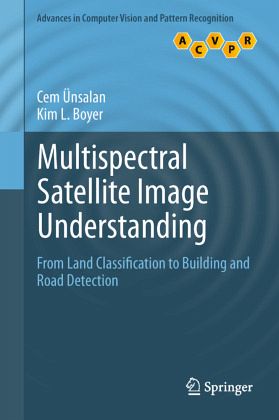
Multispectral Satellite Image Understanding
From Land Classification to Building and Road Detection
Versandkostenfrei!
Versandfertig in 6-10 Tagen
106,99 €
inkl. MwSt.
Weitere Ausgaben:

PAYBACK Punkte
53 °P sammeln!
This book presents a comprehensive review of image processing methods, for the analysis of land use in residential areas. Combining a theoretical framework with highly practical applications, the book describes a system for the effective detection of single houses and streets in very high resolution. Topics and features: with a Foreword by Prof. Dr. Peter Reinartz of the German Aerospace Center; provides end-of-chapter summaries and review questions; presents a detailed review on remote sensing satellites; examines the multispectral information that can be obtained from satellite images, with ...
This book presents a comprehensive review of image processing methods, for the analysis of land use in residential areas. Combining a theoretical framework with highly practical applications, the book describes a system for the effective detection of single houses and streets in very high resolution. Topics and features: with a Foreword by Prof. Dr. Peter Reinartz of the German Aerospace Center; provides end-of-chapter summaries and review questions; presents a detailed review on remote sensing satellites; examines the multispectral information that can be obtained from satellite images, with a focus on vegetation and shadow-water indices; investigates methods for land-use classification, introducing precise graph theoretical measures over panchromatic images; addresses the problem of detecting residential regions; describes a house and street network-detection subsystem; concludes with a summary of the key ideas covered in the book.


