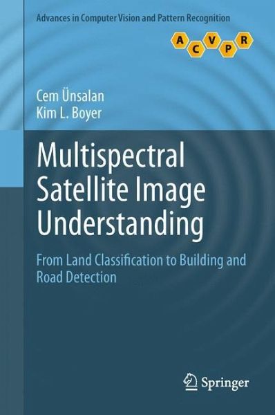
Multispectral Satellite Image Understanding
From Land Classification to Building and Road Detection
Versandkostenfrei!
Versandfertig in 6-10 Tagen
91,99 €
inkl. MwSt.
Weitere Ausgaben:

PAYBACK Punkte
46 °P sammeln!
Rapid development of remote sensing technology in recent years has greatly increased availability of high-resolution satellite image data. However, detailed analysis of such large data sets also requires innovative new techniques in image and signal processing.This important text/reference presents a comprehensive review of image processing methods, for the analysis of land use in residential areas. Combining a theoretical framework with highly practical applications, making use of both well-known methods and cutting-edge techniques in computer vision, the book describes a system for the effec...
Rapid development of remote sensing technology in recent years has greatly increased availability of high-resolution satellite image data. However, detailed analysis of such large data sets also requires innovative new techniques in image and signal processing.
This important text/reference presents a comprehensive review of image processing methods, for the analysis of land use in residential areas. Combining a theoretical framework with highly practical applications, making use of both well-known methods and cutting-edge techniques in computer vision, the book describes a system for the effective detection of single houses and streets in very high resolution.
Topics and features:
With a Foreword by Prof. Dr. Peter Reinartz of the German Aerospace CenterProvides end-of-chapter summaries and review questionsPresents a detailed review on remote sensing satellitesExamines the multispectral information that can be obtained from satellite images, with a focus on vegetation and shadow-water indicesInvestigates methods for land-use classification, introducing precise graph theoretical measures over panchromatic imagesAddresses the problem of detecting residential regionsDescribes a house and street network-detection subsystemConcludes with a summary of the key ideas covered in the bookThis pioneering work on automated satellite and aerial image-understanding systems will be of great interest to researchers in both remote sensing and computer vision, highlighting the benefit of interdisciplinary collaboration between the two communities. Urban planners and policy makers will also find considerable value in the proposed system.
Dr. Cem Ünsalan is an Associate Professor in the Department of Electrical and Electronics Engineering at Yeditepe University, Istanbul, Turkey. Dr. Kim Boyer is Professor and Head of the Department of Electrical, Computer, and Systems Engineering at Rensselaer Polytechnic Institute, Troy, NY, USA.


