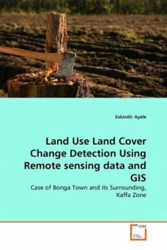
Land Use Land Cover Change Detection Using Remote sensing data and GIS
Case of Bonga Town and its Surrounding, Kaffa Zone
Versandkostenfrei!
Versandfertig in 6-10 Tagen
32,99 €
inkl. MwSt.

PAYBACK Punkte
16 °P sammeln!
Monitoring land use land cover change at all levels has become central element in sustainable development, natural resources management and environmental protection. Such daily issues of the FAO and others inspired me to conduct this work using RS data and GIS over the remnant forest area in south western part of Ethiopia, Bonga town and its environs, applying PCC change detection technique and Cellular Automata Markov LULCC model. The change detection involved processing of three Landsat images and PCC. Accordingly, a chained transition was observed between the land covers all at the expense ...
Monitoring land use land cover change at all levels has become central element in sustainable development, natural resources management and environmental protection. Such daily issues of the FAO and others inspired me to conduct this work using RS data and GIS over the remnant forest area in south western part of Ethiopia, Bonga town and its environs, applying PCC change detection technique and Cellular Automata Markov LULCC model. The change detection involved processing of three Landsat images and PCC. Accordingly, a chained transition was observed between the land covers all at the expense of forest cover between the study years. The projection of change has also showed that if appropriate measures are not taken the study area will suffer from environmental degradation in the near future. Thereby, in this era of global environmental crisis, monitoring and management of land is unquestionable for all on the surface of the sphere. Thus, the empirical findings of this book can beused for detailed explanatory, impact assessment, prescription and evaluative studies on the subject. Furthermore, it will provide inputs for policy formulation and decision making at different levels.


