Integration of Geographic Information Systems and Remote Sensing
Versandkostenfrei!
Versandfertig in 1-2 Wochen
78,99 €
inkl. MwSt.

PAYBACK Punkte
39 °P sammeln!
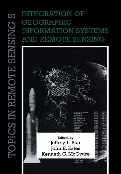
Remote sensing and geographic information systems (GIS) are inherently linked technologies. Together, they form a powerful tool to measure, map, monitor and model resources and environmental data for both scientific and commercial applications. Originally published in 1997, this book brought together work by leaders in the field to address improved techniques, applications and research in integrated remote sensing and geographical information systems. Among the topics covered are image rectification, change detection, visualisation, computer modelling, local land use planning, requirements of ...
Remote sensing and geographic information systems (GIS) are inherently linked technologies. Together, they form a powerful tool to measure, map, monitor and model resources and environmental data for both scientific and commercial applications. Originally published in 1997, this book brought together work by leaders in the field to address improved techniques, applications and research in integrated remote sensing and geographical information systems. Among the topics covered are image rectification, change detection, visualisation, computer modelling, local land use planning, requirements of GIS in global change research, and potential directions for research. Remote sensing and GIS play a key role in studies of water resources, air quality, topography, land cover, and population location and dynamics, and specialists working at the local, regional and global levels will find this book a valuable and stimulating resource.


